
DJI Avata 2 for Solar Farm Filming: What Actually Matters
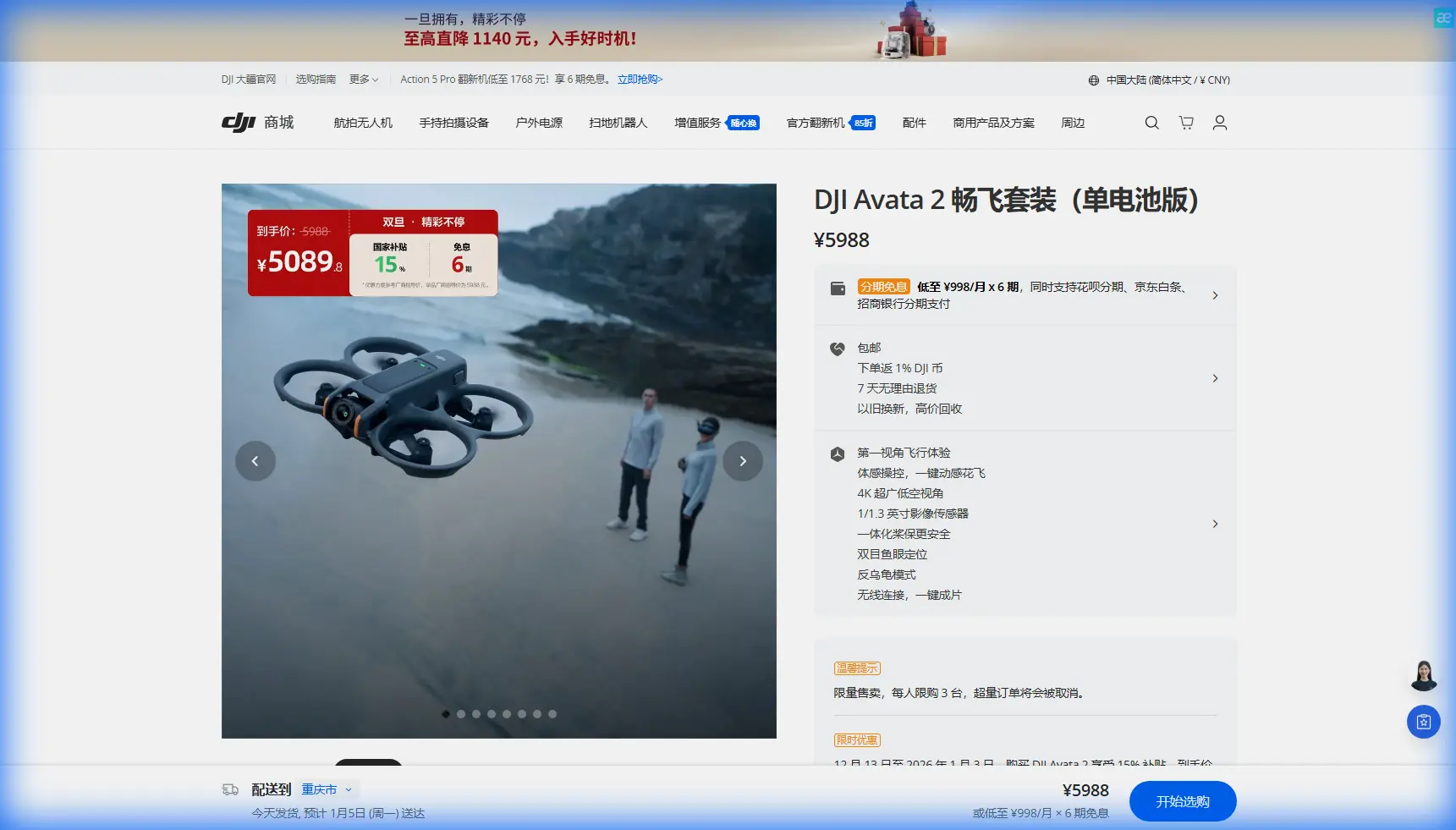
DJI Avata 2 for Solar Farm Filming: What Actually Matters in Oblique Mapping Workflows
META: A technical review of DJI Avata 2 for filming remote solar farms, with expert insights on oblique imagery, 3D modeling workflows, image quality, obstacle avoidance, D-Log, and where FPV capture fits into inspection and visual documentation.
Remote solar farms create a strange production problem. They look simple from the ground—rows of panels, repeating geometry, open sky—but from the air they are visually dense, reflective, and easy to shoot badly. If the goal is more than a cinematic fly-through, and you also care about usable visual records for engineering teams, planning, stakeholder reporting, or site-change documentation, the aircraft has to do more than feel agile.
That is where the Avata 2 becomes interesting.
Not because it replaces a dedicated mapping platform. It does not. And not because FPV alone somehow turns into a survey instrument. It does not do that either. The real value is narrower and more practical: Avata 2 can capture close-range, high-resolution oblique perspectives around localized targets inside large solar sites, and those angles matter far more than many operators realize.
I say that as a photographer who has spent enough time around industrial sites to know the difference between footage that merely looks dramatic and imagery that can support decision-making later.
Why oblique capture matters on solar farms
The reference material behind this discussion focuses on oblique photogrammetry—the collection of angled imagery and orthographic image data to support large-scale, high-resolution aerial capture and modeling, especially for local key targets. That phrase, “local key targets,” is the part worth underlining for Avata 2 users.
A remote solar farm is full of those targets:
- inverter stations
- transformer pads
- cable routing transitions
- drainage features
- access roads
- perimeter structures
- vegetation encroachment zones
- panel rows with visible installation irregularities
Traditional top-down footage tells only part of the story. Oblique imagery gives depth cues, side geometry, structural relationships, and visibility into how components sit relative to terrain and neighboring assets. For solar developers, EPC firms, O&M teams, and content producers working with technical stakeholders, that means the difference between “we filmed the site” and “we documented it in a way people can interpret.”
The source document also makes a critical point: oblique photography has become a substitute for traditional manual 3D modeling in many contexts. Operationally, that matters because it shifts value away from hand-built scene reconstruction and toward capture discipline. If software can automate much of the model-building pipeline, the bottleneck becomes the quality and consistency of the imagery collected in the field.
That is where aircraft behavior, stabilization, exposure control, and safe close-proximity flight become central—not optional.
Where Avata 2 fits, and where it clearly outperforms many alternatives
In a solar farm environment, Avata 2 has one advantage that many conventional camera drones struggle to match: it is genuinely comfortable flying low, along corridors, and near structural detail without making the operator feel like every pass is a risk calculation.
That matters because oblique modeling is not just about altitude. It is about perspective diversity.
The source material describes a workflow in which oblique imagery, orthographic imagery, POS data, and a limited number of ground control points are brought into an automated system such as DP-Smart for batch processing. In plain language, the reconstruction software wants image overlap, positional context, and enough controlled references to solve geometry reliably. It then runs through a chain that includes geometric processing, multi-view matching, triangulated network construction, and automatic texturing to generate a 3D model.
So what does that mean on a solar farm shoot?
It means the best footage for a communications edit is not always the best imagery for technical reuse. If your aircraft can safely repeat consistent angled passes around target structures, preserve visual detail, and maintain stable framing in complex layouts, your footage has a second life beyond marketing. Avata 2 is particularly strong here because its FPV design encourages lines that are much harder to execute smoothly with bulkier platforms—especially around fencing, narrow service lanes, inverter blocks, and terrain undulations.
Compared with many non-FPV drones, Avata 2 excels when the assignment includes:
- Low-altitude perspective changes
- Close side-angle capture of site components
- Fast transition between corridor movement and point-of-interest orbiting
- Safer operation around fixed structures thanks to obstacle awareness and protected form factor
That does not magically turn it into a surveying aircraft. But for remote solar sites where the mission includes inspection storytelling, engineering communication, and selective 3D-friendly capture, it can produce more useful oblique material than a drone that only feels comfortable high above the array.
The modeling workflow explains why image discipline matters
The reference data names several mature automatic 3D modeling systems, including StreetFactory, Smart3DCapture, and DP-Smart. It also notes that non-object-based models are typically produced through a fully automated process, often accelerated by GPU-based computation, without human intervention during the core model calculation and 3D TIN texture generation.
That detail is not academic. It changes how an Avata 2 operator should think on location.
If the downstream software is designed to batch-process large image sets without manual rescue work, then weak capture habits become expensive. Reflective panel surfaces, repetitive geometry, and large uniform rows already create matching challenges. Add inconsistent altitude, abrupt yaw changes, overexposed highlights, or motion blur, and automated reconstruction can degrade fast.
For solar farm operators, that means Avata 2 should be flown less like a freestyle toy and more like a disciplined imaging platform.
The field checklist becomes straightforward:
- Keep image sequences clean and repeatable
- Avoid sudden exposure swings across a pass
- Preserve detail in bright reflective zones
- Maintain enough angular variation for geometry solving
- Capture target assets from multiple sides where feasible
- Use wider environmental context before tighter technical passes
This is exactly why D-Log matters in the Avata 2 conversation. Most people treat it as a color-grading tool, which it is, but on solar sites its practical value is broader. High-reflectance surfaces can push highlights hard, while adjacent service roads, cable trenches, and equipment pads may sit in comparatively darker tonal ranges. A flatter profile gives you more room to manage contrast and hold information across that range. Even if the final deliverable is a polished film, keeping more tonal data can also preserve interpretability for technical review.
Image quality is not just “nice to have” in this use case
The source document is unusually specific about image quality expectations. It calls for imagery that is clear, with moderate contrast, consistent tone, strong color distinction, and enough fine detail to identify small ground features appropriate to the ground resolution.
That reads like a dry specification until you bring it into the reality of a solar farm.
Panel rows are repetitive. Soil textures can be subtle. Cable paths may only reveal themselves through minor surface cues. Drainage issues often show as tonal or vegetative variation rather than dramatic structural failure. If your footage is crushed, oversharpened, clipped, or inconsistent from one leg to the next, its usefulness drops immediately.
Avata 2 can absolutely deliver visually strong footage in these conditions, but only if the operator prioritizes technical consistency over adrenaline. That means controlling shutter behavior, avoiding the urge to whip through every scene, and treating each pass as part of a dataset, not just a shot list.
For remote jobs where a return visit may mean hours of travel, this is the difference between success and regret.
Obstacle avoidance and tracking: useful, but not in the way most people think
The context hints include obstacle avoidance, ActiveTrack, subject tracking, QuickShots, and Hyperlapse. On a solar farm, some of these features are more relevant than others.
Obstacle avoidance has real value, though not because a solar farm is packed like a forest. The risk is subtler: utility hardware, fencing, cable structures, maintenance sheds, changing elevation, and visual monotony can all distort pilot judgment. Rows of panels can flatten spatial perception. Anything that improves safe spatial awareness when flying close oblique lines is operationally meaningful.
ActiveTrack and subject tracking are less central unless you are following a maintenance vehicle, technician movement, or an inspection walk-through for training or stakeholder documentation. They are useful, but they are not the core story here.
QuickShots are handy for fast deliverables and social edits, yet they add little to structured oblique capture.
Hyperlapse can be surprisingly effective on large solar sites, especially for showing scale, weather movement, or construction progression over a repeatable route. But again, it serves the narrative layer more than the modeling layer.
The feature that deserves more respect in this use case is not any automated cinematic mode. It is repeatable flight control paired with stable, detailed angled imaging.
Avata 2 and the “local target” advantage
The most relevant phrase in the source material may be this: oblique capture is especially suitable for high-resolution aerial photography and modeling of local key targets.
That aligns almost perfectly with Avata 2’s strongest industrial-adjacent role.
If a client wants a full-site survey-grade product, use the right mapping aircraft and the right workflow. But if they need deeper visual understanding of selected problem areas inside a large remote solar farm, Avata 2 becomes a highly capable complement. Think of it as a local-detail machine.
Examples include:
- documenting inverter compound layout from multiple approach angles
- capturing erosion or drainage issues near panel blocks
- showing access complexity around equipment for maintenance planning
- creating visual context for retrofit discussions
- producing close oblique references before and after remediation work
Because the source workflow relies on importing imagery, POS data, and some field control points into automated processing, there is a practical path for Avata 2 footage to contribute to selective modeling-oriented tasks when planned carefully. The keyword there is selective. This is not about forcing a tiny FPV platform to do everything. It is about using its strengths where they actually improve the dataset.
A note on software reality
The reference mentions that systems like DP-Smart can process image sets through feature extraction, image pair matching, aerial triangulation steps, dense reconstruction logic, TIN building, and texture creation with little to no manual intervention in the core production run. That is a powerful reminder that field teams should think in terms of capture for automation.
Automation loves consistency.
Solar farms, however, are hostile to weak consistency because they combine reflective surfaces, repetitive patterns, and large geographic spread. That makes Avata 2’s best role even clearer: focused capture on priority zones, not indiscriminate collection.
When clients ask whether Avata 2 can help with technical site documentation, the honest answer is yes—if the mission is designed around angled visual coverage of selected assets and the downstream team understands how to process oblique image sequences intelligently.
If you are building a workflow for that, it helps to talk through flight design before you head into the field. For operators planning remote solar farm shoots and wanting to align cinematic output with model-friendly capture, I usually suggest getting a second technical opinion first through a direct WhatsApp planning chat.
What I would prioritize on a real remote solar farm assignment
If I were packing Avata 2 specifically for this scenario, my priorities would be simple:
First, I would define whether the day’s objective is storytelling, technical documentation, or hybrid capture. Mixing those without a plan is how operators come home with pretty footage and unusable reference imagery.
Second, I would identify the local key targets before takeoff. The source material is explicit that oblique acquisition is especially well suited to focused high-resolution targets. On a huge solar site, that prevents wasted battery cycles over low-value repetition.
Third, I would shoot for downstream processing discipline:
- overlapping oblique passes
- stable speed
- manageable lighting windows
- consistent exposure logic
- enough contextual coverage to support triangulation and interpretation
Fourth, I would use Avata 2’s agility where it truly wins: low and near, not simply fast.
That last point is where it outclasses many competitors in practical field terms. Plenty of drones can film a solar farm from above. Fewer can move confidently through the spaces that actually reveal how the site is built, how it is aging, and what stakeholders need to understand next.
Final take
Avata 2 is at its best on remote solar farms when you stop asking it to be a generic aerial camera and start using it as a precision oblique capture tool for selected targets. The reference workflow behind oblique modeling makes that distinction clear. Automatic 3D reconstruction systems such as DP-Smart thrive on structured image inputs, and those inputs gain value when they include strong angled perspectives, clean visual detail, and positional context.
Two source details stand out operationally. One, oblique photogrammetry is particularly effective for high-resolution modeling of local targets, which maps directly to the way Avata 2 should be deployed on large solar assets. Two, modern software can process imagery, POS data, and limited ground control through automated geometric and texturing steps, which means field capture quality matters more than manual rescue later.
That is the real Avata 2 story here. Not hype. Not generic FPV excitement. Just a very capable aircraft that, in the right hands, can gather the kind of oblique visual material remote solar projects often need and rarely get well.
Ready for your own Avata 2? Contact our team for expert consultation.