
Inspecting Forests in Windy Conditions With Avata 2
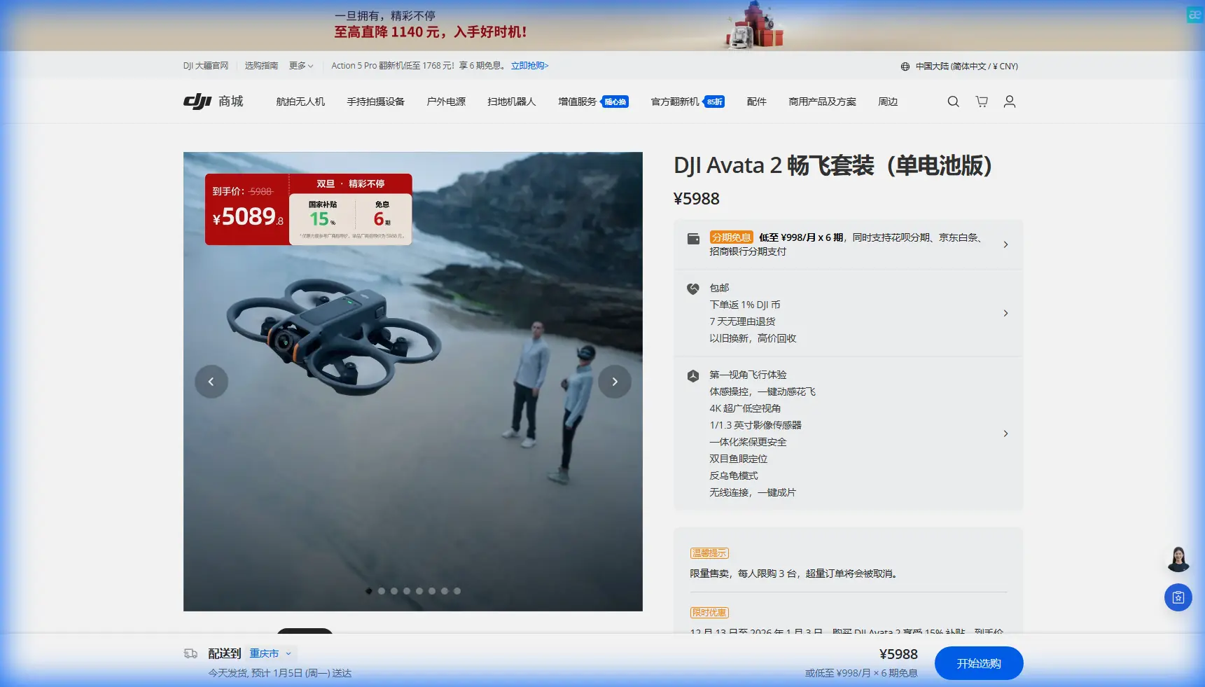
Inspecting Forests in Windy Conditions With Avata 2: What Actually Matters in the Field
META: Practical Avata 2 forest inspection tutorial focused on windy operations, low-latency remote monitoring, visible and thermal workflows, and safer obstacle-aware flying.
Forest inspection sounds simple until the canopy starts moving, light drops under the trees, and the aircraft has to work around trunks, branches, ridgelines, and patchy signal conditions at the same time. That is where a lot of drone advice falls apart. Specs on a product page do not tell you much about whether a platform can stay useful when you need clean visual awareness, stable control inputs, and a workflow that helps a remote team make decisions quickly.
For Avata 2, the real conversation is not just “can it fly through tight spaces?” It is whether its feature set can support a disciplined inspection workflow in difficult terrain, especially when wind complicates every pass.
A useful way to frame that question comes from a 5G drone control platform case study built around remote operations. The reference material describes a power-grid inspection setup that pulls real-time video from a remote drone station, keeps latency low, and supports multiple camera feeds including visible-light and thermal imaging video. It also emphasizes fast remote issue diagnosis inside a visualized operations environment. Even though that example is not specifically about Avata 2, it highlights the same operational priorities that matter in forest inspection: seeing clearly, reacting quickly, and turning flight data into decisions before conditions change.
That is the lens I would use for Avata 2 in windy woodland work.
Why wind changes the inspection strategy
Wind in a forest is rarely consistent. At the treetop line it can push hard from one direction, then vanish near the understory, then reappear as a sideways gust when a clearing opens up. Pilots who only think about top speed miss the harder problem: wind changes how you compose your route, how aggressively you trust automation, and how much margin you leave around obstacles.
With Avata 2, the advantage is not brute-force endurance. It is the ability to fly a precise, close-range inspection profile while maintaining strong situational awareness. In wooded environments, that matters more than trying to cover distance like a mapping aircraft.
If your job is to inspect tree health, storm damage, access roads, utility corridors passing through forest, or edge-of-canopy hazards, you need a drone that can do three things well:
- Hold a predictable line in disturbed air
- Preserve visual detail when light is uneven
- Help the operator avoid small mistakes that become expensive in dense terrain
Avata 2 is compelling here because it sits closer to the practical inspection end of FPV-style flying than many alternatives. Some competing models may look fast or cinematic on paper, but forest work is not won by dramatic dives. It is won by control discipline and recoverability.
The remote-monitoring lesson from 5G operations
The reference case mentions low-latency real-time video from a remote station and support for multiple camera streams, including visible and thermal. That detail matters because forest inspection is often a team task, not a solo pilot exercise.
A pilot may be threading the aircraft through a narrow visual corridor while another stakeholder watches for signs of damage, heat anomalies, line interference, or vegetation encroachment. In the power-grid example, the system is valuable because remote viewers can diagnose issues quickly without waiting for a post-flight download. Translate that to forest operations and the principle remains the same: if your aircraft captures useful imagery but your team cannot interpret it in time, your workflow is slower than it needs to be.
Avata 2 fits this style of operation best when you stop treating it like a recreational flyer and instead build a field process around it:
- one operator focused on flight path and safety
- one observer or analyst reviewing the live image feed
- a clear mission plan for what signs trigger a second pass
- a defined handoff for findings after the sortie
That approach becomes even more valuable in wind. Gusts reduce the time you want to linger in exposed gaps. A remote observer who can call out what matters in real time helps you avoid repeating the route.
A practical Avata 2 setup for windy forest inspections
1) Start with the route, not the drone mode
Before takeoff, split the site into wind behavior zones:
- canopy edge
- interior trail corridors
- creek or road openings
- slope breaks
- deadwood clusters
This sounds basic, but in forests these zones create different turbulence patterns. Avata 2 performs best when you already know where you expect lateral push or sudden vertical air movement.
Do not plan one sweeping cinematic loop. Plan short, deliberate segments with exit options.
2) Use obstacle awareness as a buffer, not a crutch
Obstacle avoidance is one of those terms that gets overused, but in forest inspection it has a narrow, practical role. Branches, vines, uneven trunks, and partial visual obstructions can overwhelm pilots when wind nudges the drone off line. Avata 2’s obstacle-aware behavior is most useful as a last layer of protection during slow technical passes, especially when inspecting along a corridor or around damaged trees.
The mistake is assuming obstacle systems can read every branch tip or every fine twig in poor contrast. They cannot replace line choice. What they can do is give you a little more tolerance when a gust shifts the aircraft during a close inspection orbit.
Against many competing drones marketed for action footage, this is where Avata 2 tends to shine. It offers a better bridge between immersive close-quarters flying and structured inspection work. That bridge matters more than raw speed in wooded airspace.
3) Fly lower under the gust line when the mission allows it
When wind is pushing at canopy level, dropping slightly lower can produce a steadier platform, provided visibility remains adequate and the route is clear. Avata 2 is particularly useful in these lower, controlled passes because it can work through narrower visual channels than larger camera drones that need more open air around them.
The tradeoff is obvious: the lower you go, the more branches and surprise obstacles you have to manage. This is exactly why route discipline and obstacle awareness need to work together.
4) Use manual judgment before ActiveTrack
ActiveTrack and subject tracking can help when you are following a moving ground team, a vehicle on a forest road, or a repeating path beside a utility corridor. But windy forest conditions punish blind trust in automation. Trees create interruptions, visual confusion, and sudden framing changes.
So if you use tracking functions, use them in the least cluttered parts of the route. Reclaim manual control before entering denser sections. Avata 2 can support these transitions well, but the operator should stay ahead of the system rather than reacting after it starts hunting for the subject.
Imaging priorities: visible detail first, workflow second
The reference document’s mention of visible-light and thermal real-time video is a strong reminder that inspection value depends on what the image can reveal. Avata 2 is not a thermal platform by default, so you should not force it into jobs where thermal verification is the primary requirement. But for visual inspections in forests, it can still do serious work if you optimize the capture settings and mission logic.
For example:
- checking windthrow damage after a storm
- locating broken limbs over trails or service roads
- identifying canopy gaps and access obstructions
- inspecting vegetation encroachment near infrastructure running through wooded areas
- documenting erosion or water-path changes under tree cover
In these scenarios, the quality of visible footage and the ability to position the drone safely are more important than broad-area capture.
This is also where D-Log becomes relevant. In forests, light can shift brutally within seconds: bright sky through gaps, then deep shadow under branches, then reflective water or pale bark. A flatter profile gives you more room to recover highlights and shadow detail in post. If your client or team needs evidence-grade visual interpretation rather than social media-ready contrast, that extra latitude helps.
Use D-Log when the mission includes later analysis. Skip it if the goal is immediate field review by non-technical stakeholders who need a straightforward live-looking image right away.
When QuickShots and Hyperlapse are useful — and when they are not
QuickShots and Hyperlapse are often filed under creative tools, but they do have limited operational value in civilian inspection documentation.
A controlled reveal shot can establish site context: where the forest road sits relative to a damaged area, how a clearing connects to a treeline, or how a corridor cuts through mixed canopy. Hyperlapse can show environmental change over time if you are revisiting a site and want to document cloud movement, smoke drift from a prescribed burn perimeter, or shifting light on a slope.
But these tools are secondary. In windy inspection work, they should never interrupt the primary mission, which is close visual verification. Use them after the critical passes are complete, not before.
What the flight data really tells you
The source extract includes specific telemetry-style figures such as 43.768 km/h, a coordinate value around 114.810098°, and a date stamp of 2017-10-29. The exact historical context is less important than what those data points represent operationally: a remote inspection system is only as good as its ability to pair live video with location, speed, and mission traceability.
That concept is directly relevant to Avata 2 users doing professional forest work.
If you flag a damaged stand, a blocked service path, or a vegetation issue near infrastructure, your footage becomes much more actionable when it is tied to location and flight context rather than just stored as anonymous clips. Speed data matters too. A pass made too fast through moving branches may look acceptable in real time but fail later when the reviewer needs frame-by-frame detail. Logging and documenting how the aircraft moved through the scene helps teams understand whether a reflight is necessary.
So even if Avata 2 is not being deployed inside a full 5G control platform, the lesson holds: inspection maturity is not just about flying. It is about making observations traceable.
A field workflow that makes Avata 2 more useful
Here is the method I would recommend for windy forest inspection:
Pre-flight
- define a narrow inspection objective for each sortie
- identify gust-exposed openings and probable turbulence zones
- choose whether the mission needs live interpretation, post-analysis, or both
- assign one person to watch imagery and one to watch aircraft environment when possible
During flight
- start with a short stability check near the launch area
- test response near canopy edge before committing to deeper passes
- prioritize crosswind-safe routes with clean exits
- inspect in short segments instead of continuous long runs
- reduce speed in dense sections to protect image readability
Capture strategy
- use standard visual footage for immediate decision-making
- switch to D-Log when post-flight analysis matters more than instant polished color
- use tracking tools only in open or semi-open sections
- reserve QuickShots or Hyperlapse for contextual documentation after core inspection is complete
Post-flight
- label clips by route segment and objective
- note where wind visibly affected framing or stability
- mark any findings that require a second pass from a safer angle
- connect observations to location data so the maintenance or land team can act quickly
Where Avata 2 stands out from competitors
A lot of drones can film forests. Fewer are comfortable in the gap between immersive close-range flight and disciplined technical observation.
That is where Avata 2 has an edge.
Compared with drones that are either too large for confident close-in maneuvering or too barebones in obstacle support, Avata 2 offers a more balanced toolset for inspection-style flying. The combination of compact handling, obstacle-conscious operation, and useful intelligent modes makes it better suited to wooded route work than many platforms that excel only in open-space video capture.
And when you look back at the reference case study, the benchmark is not glamour footage. It is low-latency visual monitoring, multi-view awareness, and faster diagnosis from live data. Those are the standards professionals should use when judging any drone workflow in the field.
If you are building a civilian forest inspection process around Avata 2, that is the north star: make every flight easier to interpret, easier to repeat, and safer to fly when the wind stops cooperating.
If you want to compare route-planning ideas or accessory choices for this kind of work, you can message our field team here.
Ready for your own Avata 2? Contact our team for expert consultation.