
Expert Field Report: Using Avata 2 for Windy Vineyard
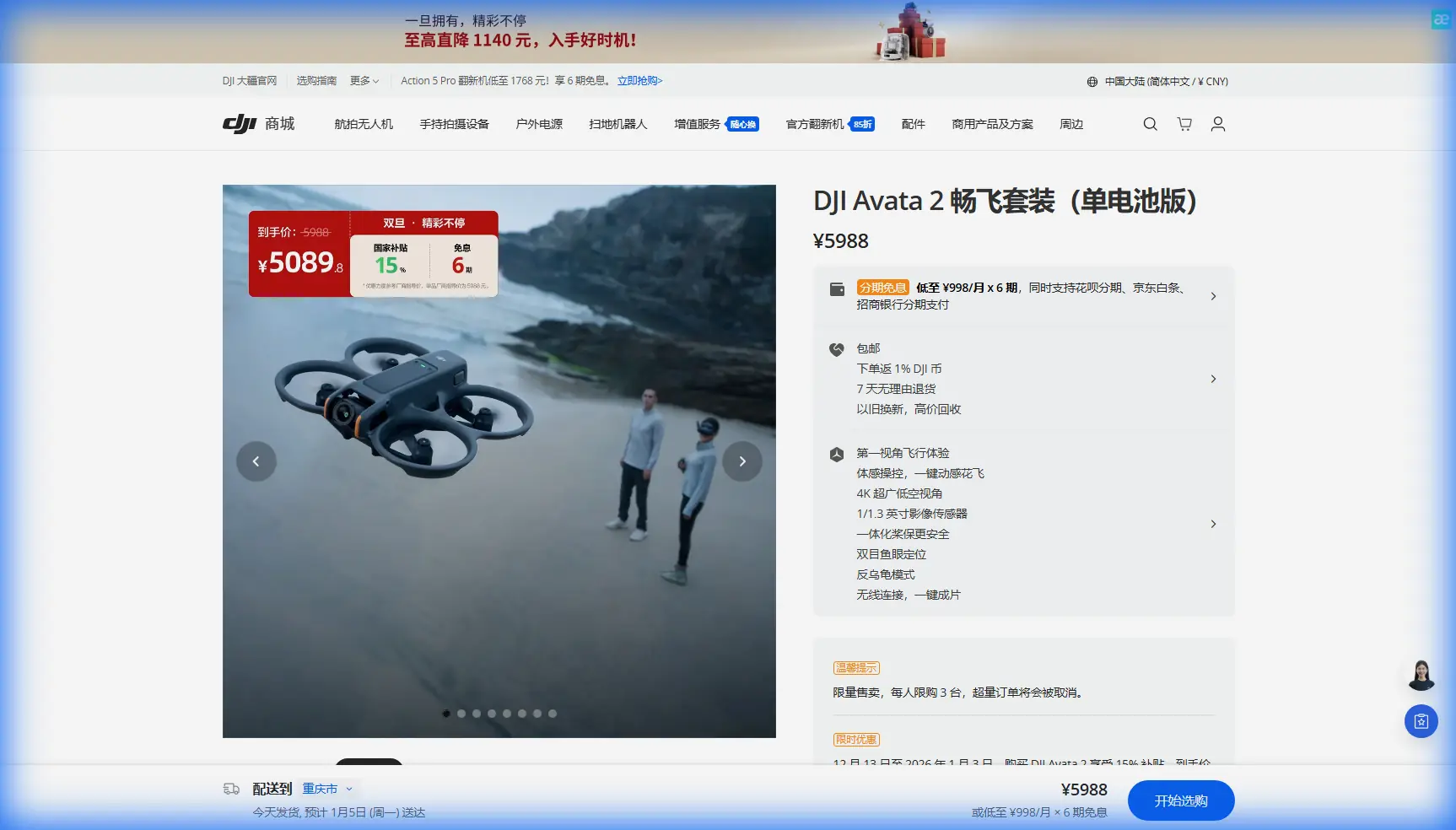
Expert Field Report: Using Avata 2 for Windy Vineyard Inspection and 3D Trail-Style Mapping
META: A field-tested look at how DJI Avata 2 can inspect vineyards in wind, support 3D real-scene workflows, and capture useful spatial data with obstacle awareness, D-Log, and practical accessories.
When people talk about Avata 2, they usually drift toward cinematic flying. That misses one of its more interesting roles: close-range inspection in places where terrain, vegetation, and wind combine to make larger aircraft awkward or inefficient.
I’ve been looking at Avata 2 through a more practical lens. Specifically, how it fits a field inspection workflow in vineyards during windy conditions, and how that connects to a broader 3D real-scene application model seen in older Chinese UAV spatial-data solutions. One reference point stands out: a three-dimensional real-scene application platform system tied to routine inspection work on the Binshui National Mountaineering Fitness Trail in Beijing. That trail was planned to span 280 kilometers, making it a useful benchmark for understanding why persistent, visual, location-aware drone inspection matters in long linear environments.
A vineyard is obviously not a mountain trail. But operationally, they have more in common than many pilots realize.
Why the trail example matters to an Avata 2 operator
The source material centers on a 三维实景应用平台系统, or 3D real-scene application platform system, integrated with a broader platform environment. Even through the rough extract, two ideas come through clearly: first, the system was built around routine inspection; second, it was designed to make visual spatial data usable inside a larger operational platform rather than leave it stranded as raw imagery.
That distinction matters.
A lot of drone flights produce beautiful footage and weak decisions. For vineyard managers, agronomists, and estate operators, the value is not in flying rows for the sake of it. The value is in turning repeated flights into comparable visual records: canopy gaps, trellis damage, erosion channels, blocked access paths, water pooling, fence issues, edge encroachment, and storm impact. The trail-inspection reference shows the logic of that workflow. A long route gets monitored repeatedly, with 3D scene data helping the operator understand conditions over space and time. Vineyards need the same discipline, just on a different scale.
Avata 2 is not a dedicated mapping platform in the classic survey sense. It is also not the obvious first pick for broad-acre agricultural coverage. But for targeted inspection inside constrained, windy, visually complex blocks, it can be remarkably capable.
Where Avata 2 fits in a vineyard inspection stack
In a vineyard, the hard parts are often local rather than global. You may already know which block needs attention. What you need is a safe, repeatable way to move through rows, around posts, near trellis systems, below canopy height, along drainage edges, or beside retaining walls without the bulk and exposure of a larger aircraft.
That is where Avata 2 starts to make sense.
Its compact protected design changes pilot behavior. You stop treating every pass like a high-risk precision mission and start flying more naturally around obstacles. In a windy vineyard, especially on slopes or in narrow corridors between rows, that confidence matters. Wind at canopy height can be messy. Gusts bounce off embankments, shelterbelts, stone walls, sheds, and terrain breaks. A drone that feels settled in those spaces can shorten inspection time and reduce the number of abandoned flights.
The reader scenario here is windy inspection, so let’s keep this grounded. If I were inspecting a vineyard after a rough weather window, I would not be looking for cinematic perfection. I’d be looking for stable, low-altitude passes that let me verify:
- broken trellis wires
- leaning or damaged posts
- blocked drainage cuts
- vine stress patterns visible at row level
- access track washouts
- edge vegetation encroachment
- damage around pump stations or storage structures
Avata 2’s usefulness comes from how close it can work to these details.
Obstacle awareness is not just a safety feature
There’s a tendency to reduce obstacle avoidance to a spec-sheet checkbox. In inspection flying, it changes the type of evidence you can collect.
Vineyards are dense with semi-structured obstacles: trunks, wires, corner posts, irrigation components, anti-bird netting supports, and occasional overhanging branches from adjacent trees. In that environment, obstacle awareness helps the pilot maintain smoother lines and hold attention on the subject rather than constantly fighting proximity anxiety.
This is operationally significant because inspection quality depends on continuity. If each pass is interrupted, overly conservative, or cut short, the final record becomes fragmented. You may miss the transition point where healthy canopy becomes stressed canopy, or where surface runoff starts to undercut a service path. Smooth progression through a row or along a boundary produces more diagnostic footage than a series of disconnected peeks.
Avata 2 is not a substitute for pilot judgment around wires and fine obstacles. No serious operator should treat it that way. But for vineyard work, even partial obstacle support can improve confidence enough to make repeated low-level documentation realistic.
The hidden value of D-Log in agriculture-adjacent inspection
D-Log is often framed as something for filmmakers. In field inspection, it can be just as useful.
Vineyards are full of difficult tonal transitions. Dark trunks, reflective leaves, bright sky, pale dust roads, netting, and shaded gullies all end up in the same frame. In midday or high-contrast mountain light, standard profiles can flatten subtle visual cues or clip useful detail.
That matters when you’re reviewing footage for practical signs rather than aesthetic ones. Slight differences in canopy density, discoloration on leaves, wet patches near line breaks, or cracks in access surfaces can all become easier to spot when the image retains more highlight and shadow information. D-Log gives more room in post to normalize sequences from different times of day so inspections are easier to compare over time.
The 3D real-scene platform idea from the source document points in the same direction: drone imagery becomes more valuable when it can be integrated, reviewed, and interpreted as part of a wider record. Clean, gradable footage helps that process.
Subject tracking and ActiveTrack: useful, but not the main event
The provided context mentions subject tracking and ActiveTrack, and they do have a place. In vineyards, though, their role is narrower than many marketing pages imply.
If a ground team member is walking a block boundary, checking irrigation or marking problem areas, tracking can help document their route and surrounding conditions hands-free. It can also be useful for training scenarios where a supervisor wants a visual record of how staff move through a site. But row-level inspection is usually about fixed infrastructure and crop condition, not moving subjects.
So I would not position ActiveTrack as the headline feature for this use case. Its value is secondary. The main event is controlled proximity flying in complex spaces, with enough image quality to support real decisions later.
QuickShots and Hyperlapse are more useful than they sound
At first glance, QuickShots and Hyperlapse seem too social-media-coded for professional inspection. That’s an incomplete read.
A Hyperlapse sequence from a consistent vantage can show changes in fog movement, cloud shadow, worker access flow, or the timing of wind moving through exposed rows. QuickShots, if used sparingly, can generate fast orientation clips for managers who were not on site. A short reveal from access road to affected block can communicate terrain context faster than a folder of stills.
This ties back to the source material’s emphasis on platform-based visual understanding. Not every stakeholder wants raw flight logs. Some need a fast, intuitive grasp of the site condition. Brief, structured motion clips can help them understand where the problem sits inside the larger property.
A third-party accessory that genuinely helped
One accessory made a real difference in this kind of work: a high-gain directional patch antenna setup for the controller. Not glamorous, but useful.
In vineyards with rolling terrain, tree lines, utility sheds, and uneven row orientation, signal quality can become inconsistent long before the site looks large on paper. The patch antenna did not turn Avata 2 into a long-range platform, and that should not be the goal anyway. What it did was improve link consistency when inspecting along edges with partial occlusion or when repositioning around terrain folds.
That kind of enhancement matters because interrupted links break the continuity of inspection. And continuity is exactly what the 3D real-scene workflow depends on. If the mission is to create a usable visual record tied to place, cleaner link performance means fewer retries and more coherent review material.
If you’re comparing field setups or want notes on what worked in practice, I’ve shared that kind of information directly here: message me on WhatsApp.
Thinking in linear assets, not just fields
The Beijing trail example is worth revisiting. The source describes routine inspection of a national fitness trail system that extends 280 km, running from one township area toward another on a southeast-to-northwest alignment. That kind of corridor inspection has a very specific logic: operators are not simply documenting isolated points. They are monitoring a connected path with many local variables.
Many vineyards should be approached the same way.
Not as a generic block of plants, but as a network of linear assets:
- row corridors
- access roads
- drainage lines
- perimeter fences
- slope transitions
- utility runs
- pedestrian paths for workers or visitors
This is where the source material becomes surprisingly relevant to Avata 2. The concept of a 3D real-scene module integrated with a larger platform suggests a workflow where visual data supports recurring site management. For vineyards, that could mean building a repeatable archive of row-edge conditions, culvert states, terrace stability, and tourism-path safety if the property hosts visitors.
Avata 2 can support that archive by collecting low-altitude, perspective-rich footage that complements overhead map layers rather than trying to replace them.
Where Avata 2 is not the right tool
A useful field report should be honest about limits.
If the task is full-property orthomosaic capture, high-accuracy terrain modeling, or broad multispectral crop analysis, Avata 2 is not the lead aircraft. A dedicated mapping drone or agricultural platform is the right answer. If the wind is severe enough to make precise row passes erratic, postponing the flight is smarter than forcing it.
And if the property has extensive fine wires, suspended netting, or tight enclosed infrastructure, the pilot still needs a conservative route plan. Protected design does not cancel risk.
The point is not that Avata 2 does everything. The point is that it fills a gap many operators overlook: close visual inspection where terrain, obstacles, and route complexity matter more than sheer area coverage.
My preferred workflow for this scenario
For a windy vineyard inspection, I’d use Avata 2 as the detail aircraft in a layered process.
Start with a walk-through or top-down reference from another source if available. Identify the rows, drainage segments, or infrastructure points that actually need close attention. Then use Avata 2 for:
- low passes along damaged or exposed rows
- lateral runs beside slope breaks and embankments
- close inspection of trellis corners, gates, sheds, and pump areas
- repeatable clips from the same viewpoints for comparison after weather events
- contextual orientation sequences for managers or off-site consultants
Record in D-Log when lighting is harsh or inconsistent. Use obstacle awareness as a support tool, not a crutch. Keep tracking features in reserve for staff-documentation moments rather than forcing them into every mission. If signal conditions are tricky, a well-chosen controller antenna accessory can be more useful than another battery.
Final read on Avata 2 for this job
What makes Avata 2 interesting in vineyard inspection is not speed, not hype, and not the usual cinematic pitch. It’s the way the aircraft can translate messy ground-level reality into usable visual evidence.
That aligns closely with the reference material’s core idea. A 3D real-scene application platform system only becomes valuable when the data feeding it is consistent, spatially meaningful, and tied to routine operational questions. The Beijing trail inspection example shows how long, distributed assets benefit from repeated drone-based visual records. Vineyards, especially in wind-exposed or sloped terrain, have the same need in miniature.
So if you think of Avata 2 as a small FPV-style camera drone, you’ll only use part of what it offers. If you think of it as a close-range inspection tool for complex linear environments, it becomes much more compelling.
Ready for your own Avata 2? Contact our team for expert consultation.