
Avata 2 for Coastal Field Mapping: What the Pipeline
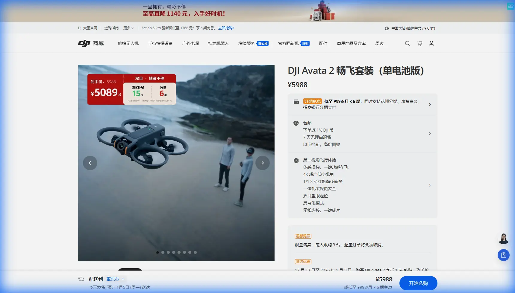
Avata 2 for Coastal Field Mapping: What the Pipeline Inspection Specs Teach Us About Real-World Planning
META: Learn how reference-grade UAV pipeline inspection specs translate into smarter Avata 2 planning for coastal field mapping, including wind handling, training workflow, software readiness, and interference management.
I spend a lot of time around pilots who buy a drone for one mission and end up discovering its limits in a completely different environment. Coastal field mapping does that quickly. What looks simple from a road edge becomes a messy mix of salt air, gust fronts, reflective water, signal clutter, and uneven light. If you are planning to use an Avata 2 around those conditions, the most useful lessons do not come from lifestyle footage. They come from operational documents.
One reference that deserves more attention is a pipeline inspection solution document. At first glance, it is not about Avata 2 at all. It is about a professional drone workflow used for oil pipeline inspection. But the details inside it are exactly the sort of details that separate smooth field work from expensive confusion: endurance assumptions, wind tolerance, payload expectations, support response times, software maintenance rights, and the discipline of formal training.
That is where this piece starts.
Why a pipeline inspection spec matters to an Avata 2 pilot
The source document outlines a UAV system with 4 hours of endurance, wind resistance above level 6, payload capacity of 6 to 8 kg, and a cruise speed of 80 to 140 km/h, all operating without a communications relay. Clearly, that is not the Avata 2 airframe. Avata 2 belongs to a smaller, more agile class. It is built for close-in work, situational flying, visual documentation, and training-oriented capture rather than long linear corridor coverage.
So why compare them?
Because those figures reveal the planning assumptions used by serious inspection teams. A drone built for pipeline work is expected to survive wind, maintain mission continuity, and function without leaning on a relay network. For a coastal field mapper using Avata 2, the lesson is not “match those numbers.” The lesson is this: know where your aircraft sits below industrial benchmarks, and design your operation around that truth.
In practice, that changes everything.
A pipeline team with a platform rated for more than force 6 wind can accept wider weather windows. An Avata 2 crew in a coastal field should be far more selective. Morning calm may be usable. Midday onshore wind over open acreage may not be. If the field borders tidal water, drainage channels, or exposed embankments, gusts can arrive from multiple directions and hit harder at the turn points. The drone may still fly, but mapping consistency starts to break down before the aircraft reaches its absolute limit.
That distinction matters because mapping is not just about staying airborne. It is about maintaining repeatable path control, stable image geometry, and manageable post-processing.
Start with the environment, not the feature list
People often ask whether Avata 2 can map fields. My answer is yes, but only if you define the job correctly.
If you are documenting crop condition bands, checking drainage routes, building visual references for agronomy meetings, or creating low-altitude edge inspections around coastal plots, Avata 2 can be useful. If you are expecting it to replace a dedicated fixed-wing or large multirotor survey platform over broad acreage, the pipeline document reminds you why specialized aircraft exist in the first place.
That document’s 80 to 140 km/h cruise speed tells you something else. Industrial inspection systems are designed to cover distance efficiently. Coastal farmland can stretch farther than it looks, especially when divided by access roads, irrigation cuts, or shelterbelts. With Avata 2, the better strategy is usually not “cover everything in one go.” It is to break the site into short, deliberate zones.
I prefer three layers of planning:
- Boundary pass for orientation and hazards
- Low-altitude detail pass for crop edges, washouts, standing water, or damaged fencing
- Selective cinematic pass for stakeholder communication
That third layer is where tools like QuickShots, Hyperlapse, and D-Log become genuinely useful rather than decorative.
QuickShots can help produce fast visual summaries of access roads, pumping stations, or field entrances for non-technical stakeholders. Hyperlapse can show how fog, irrigation movement, or tidal adjacency affects a field over time. D-Log is useful when coastal glare is brutal and you need more room in color grading to recover highlight detail from bright sky and reflective wet soil.
Wind is not the only coastal problem
Coastal mapping gets reduced to wind discussions, but signal behavior is often the hidden issue.
In the source document, the professional inspection platform is noted as operating with no communications relay. Operationally, that means the aircraft and crew must rely on direct link integrity rather than a boosted network architecture. For Avata 2 pilots, this has a direct parallel. In coastal fields, especially near utility lines, pump houses, metal-roof outbuildings, or drainage infrastructure, the problem is not always distance. It is electromagnetic noise and reflection.
This is where antenna discipline matters.
I have seen pilots assume interference means they need to move closer immediately. Sometimes yes. But often the first fix is simpler: stop pointing the setup badly. Antenna adjustment can make a surprising difference when signal quality drops near metallic structures or when the aircraft turns low across a wet field that is acting like a reflector.
My field routine is straightforward:
- Pause and hold position if video feed quality starts to degrade.
- Rotate my body and controller orientation rather than making abrupt aircraft inputs.
- Adjust antenna angle to maintain a cleaner line relative to the aircraft’s position, not just its heading.
- Climb slightly if the route is skimming over reflective waterlogged ground or crossing behind a structure.
- Reassess before resuming the pass.
That last step is the one people skip. They “fix” the signal and continue without checking whether the route itself is poor. In some coastal plots, the smartest solution is to redesign the pass so the aircraft never spends long at the interference-prone edge.
If you need help diagnosing field-specific signal behavior, this is the sort of scenario where a quick workflow review can save hours later: message a drone workflow specialist.
Obstacle avoidance and subject tools are helpful, but not a substitute for planning
Avata 2 discussions often drift toward feature labels: obstacle avoidance, subject tracking, ActiveTrack, and so on. These are useful tools, but coastal field mapping is a poor place to become overconfident.
Obstacle avoidance helps in transitional zones: trees at field edges, utility poles near access lanes, greenhouse corners, or abandoned equipment left near drainage cuts. It is especially valuable when the light is inconsistent and your eyes are working overtime between bright sky and dark ground cover.
But open fields create a different problem. They can make pilots sloppy because there are fewer obvious collision risks. Then a wire appears near a pump station, a windbreak rises behind a turn, or the aircraft drops toward a ditch edge during a low pass. In those moments, obstacle sensing is a backup, not a mission plan.
The same goes for subject tracking and ActiveTrack-style functions. They can be useful if you are documenting a tractor, sprayer, or utility vehicle moving along a service lane for operational storytelling or training records. Yet for mapping-oriented capture, autonomous tracking is often secondary. The real requirement is repeatability. You want clean lines, stable speed, and predictable framing.
Use automation where it reduces workload. Do not let it define the job.
What the training section of the source document gets exactly right
The strongest part of the pipeline inspection reference is not the aircraft performance table. It is the training philosophy.
The document states that training should give users a working understanding of the system’s components and principles, the ability to operate the instrument and supporting software, and an understanding of project organization and implementation. That is excellent advice for anyone using Avata 2 for field work.
Most new pilots focus too heavily on flying skill and not enough on operational structure.
For coastal mapping, your training target should include:
- Airframe behavior in gust transitions
- Battery discipline across multiple short sorties
- Camera settings for high-glare scenes
- File management by field block or parcel
- Route naming and shot logging
- Recovery procedures after signal quality warnings
- Post-flight image review before leaving the site
The same source document notes a normal training period of five days and requires that at least two trainees have a solid professional foundation, computer literacy, and some English ability. That may sound formal, but the operational significance is hard to ignore. Field drone work becomes more reliable when knowledge is not trapped in one person’s head.
If you are mapping coastal agricultural land as part of a farm team, consultancy, or land management operation, having two competent operators changes the quality of your output. One can fly while the other monitors light shifts, obstacles, route coverage, and metadata discipline. It also reduces the temptation to rush because someone else is checking the mission logic in real time.
Software maintenance matters more than most pilots think
Another detail from the source material deserves attention: users are entitled to system software and application software maintenance, upgrades, and updates throughout the product lifecycle.
That point is easy to underestimate. In practical field work, software quality often determines whether a mission is merely flown or actually usable.
For Avata 2 workflows, software readiness affects:
- Firmware stability
- File compatibility
- Color workflow for D-Log footage
- Export consistency
- Mobile device behavior in the field
- Goggles and controller sync reliability
- Mapping-adjacent organization, even when the drone is used for visual rather than survey-grade outputs
A coastal job is not where you want to discover a sync issue, mobile overheating problem, or codec mismatch. Before a field day, I recommend a preflight software check that is just as serious as your battery check. Confirm firmware alignment, storage status, display brightness strategy, and backup media handling.
The pipeline document also mentions that technical, fault, and service issues receive a clear response within 5 hours at the latest. That response standard says something bigger than customer support. It reflects the tempo of professional operations. When a drone is part of a field workflow, downtime is not abstract. Weather windows close. Crop conditions change. Tides shift. Labor schedules move.
Even if your own support structure is informal, you should build around that same urgency. Have a written troubleshooting sequence. Keep spare propellers, charging discipline, and card redundancy in place. Know what can be fixed on-site and what forces a reschedule.
A practical Avata 2 tutorial workflow for coastal fields
Here is the method I use when adapting a nimble platform like Avata 2 to field documentation near the coast.
1. Walk the launch area first
Look for metal sheds, fences, irrigation hardware, overhead lines, wet ground reflections, and wind funnels between structures. This is also where you identify possible electromagnetic trouble spots before takeoff.
2. Pick a narrow mission objective
Do not “map the farm.” Define a task such as:
- document standing water after irrigation
- capture field edge erosion
- record crop uniformity along one block
- inspect access routes and drainage channels
Focused missions produce cleaner footage and better decisions.
3. Fly the first pass higher than you think you need
Use a conservative orientation pass to judge gust behavior and signal quality. This is where antenna adjustment can reveal whether the route is viable.
4. Build the low pass only after the link proves stable
If the feed remains clean, descend for detail work. If it does not, shift your position or reroute. Never force a low-altitude run through a noisy signal corridor.
5. Use D-Log when light contrast is severe
Coastal brightness can flatten field detail or blow out the sky. D-Log gives more flexibility later, especially for agronomy presentations or stakeholder reports where tonal separation matters.
6. Use QuickShots and Hyperlapse selectively
These are best used after your operational footage is secured. QuickShots can summarize a field entrance or facility node. Hyperlapse can illustrate moving weather or water behavior across time.
7. Review footage on-site
Do not trust the tiny display alone. Check enough clips before leaving to confirm you captured the details you actually need.
The bigger lesson from the reference material
The pipeline inspection document is valuable precisely because it is not trying to entertain you. It treats drone work as a system: aircraft capability, user training, support responsiveness, software continuity, and operational accountability.
That mindset is exactly what Avata 2 users need when moving into coastal field mapping.
The drone itself is only one part of the result. The mission succeeds when you understand your environmental constraints, manage interference intelligently, use the camera modes with purpose, and train to a standard that goes beyond basic stick control.
That is the real bridge between a heavy-duty inspection specification and a compact FPV-style aircraft. Not sameness in hardware, but seriousness in method.
If you fly Avata 2 over coastal fields with that mindset, you will get more than attractive footage. You will get material that is actually useful.
Ready for your own Avata 2? Contact our team for expert consultation.