Avata 2 in the Vineyard: A Field Case Study on Mapping
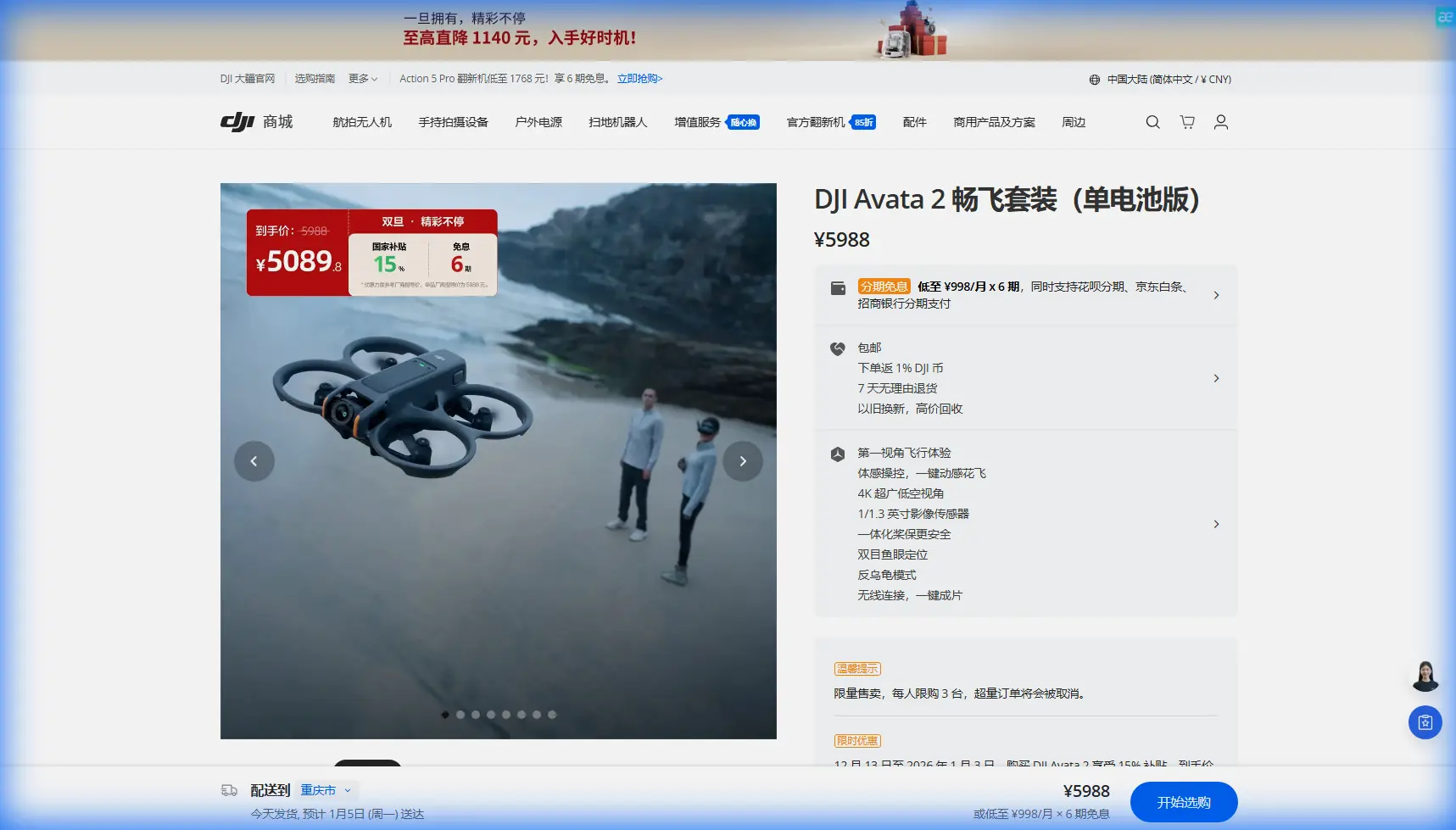
Avata 2 in the Vineyard: A Field Case Study on Mapping Through Heat, Wind, and Mid-Flight Weather Shifts
META: A practical Avata 2 vineyard mapping case study covering extreme temperatures, mid-flight weather changes, obstacle handling, D-Log capture, and how photogrammetry workflow choices affect real-world results.
I’ve seen plenty of drone discussions about vineyards drift into abstract theory. Sensor specs. Marketing footage. Perfect test days. That is not how vineyard work actually happens.
A vineyard is a tight, repetitive, obstacle-rich environment with its own set of operational headaches: rows that look identical from altitude, wires and posts that punish sloppy flying, reflective leaves that change appearance by the hour, and terrain that can shift from open to cluttered in a few hundred meters. Add extreme temperatures and unstable weather, and the mission gets more serious. You’re not just trying to get pretty footage. You’re trying to come home with usable data.
This case study looks at Avata 2 through that lens: not as a cinematic toy, but as a practical tool in a vineyard mapping scenario where conditions changed mid-flight.
Why Avata 2 is an unusual fit for vineyard work
Let’s get one thing straight. If the only objective is high-efficiency orthomosaic production over broad acreage, a dedicated mapping platform is still the obvious first choice. Avata 2 is not replacing that category.
But vineyards create edge cases where Avata 2 becomes surprisingly useful.
The aircraft’s compact protected design gives it a different risk profile around rows, trellis infrastructure, narrow service lanes, and partial canopy cover. That matters when you need close visual inspection of row condition, slope transitions, irrigation lines, drainage cuts, or problem areas already identified by a broader survey. In those situations, the question is less “How many hectares per battery?” and more “Can I safely and repeatedly gather tight, low-altitude imagery in places where a larger platform feels exposed?”
That is where Avata 2 starts to make sense.
The mission: mapping a vineyard during a heat spike
The job was straightforward on paper: document several vineyard blocks for terrain context, row condition review, and 3D visual reference that could support later agronomic and operational analysis. The site had elevation variation, closely spaced vines, access roads, utility elements, and sections where rows bent along the land rather than following a perfect grid.
By late morning, surface heat was building fast. Leaves were moving inconsistently. Air near the ground felt stable in one section and twitchy in another. By the time the second flight window opened, the weather changed enough to affect the mission. Light shifted. Wind direction drifted. Temperature stress became visible not just on the operator, but on the site itself.
That kind of shift matters because image consistency is the hidden foundation of successful reconstruction. If you’re building a 3D view of a vineyard, changing shadows, moving foliage, and repeated visual textures can turn a simple capture plan into a data management problem.
Avata 2 handled the transition better than many pilots might expect, but not because it magically ignored the environment. It handled it because its strengths fit the geometry of the site.
Flying low where rows and structures compress your options
In vineyard mapping, close-range passes can be more informative than high-level coverage. You may want to inspect canopy density changes, headland layout, inter-row clearance, erosion channels, drainage patterns, or the way a block interfaces with roads and structures. Larger aircraft can do this, but they often make the pilot more conservative around obstacles.
Avata 2 changes that psychology.
Its design encourages controlled, low-altitude movement through visually crowded spaces. In a vineyard, that can mean tracking the line of a row, crossing from one block to another, or moving along the edge where posts, netting, and support wires complicate the route. Obstacle awareness becomes valuable here not as a headline feature, but as an operational buffer. In real work, obstacle avoidance is less about dramatic last-second saves and more about reducing cumulative pilot stress over dozens of short precision maneuvers.
That reduction in stress matters. When the aircraft feels manageable, the pilot can focus more on overlap, angles, and consistency.
When the weather turned mid-flight
The most revealing part of the day came after conditions shifted.
The first passes were captured under hard sun with relatively clean visibility down the rows. Then the weather softened. Wind became less predictable. Light flattened briefly, then changed again. On a vineyard site, those transitions affect more than exposure. They change how leaves present to the camera, how row gaps read in the image, and how easy it is for software to identify stable matching points later.
This is where disciplined flight behavior matters more than brute speed.
Rather than trying to outrun the weather, I shortened the route logic. Fewer heroic runs. More controlled segments. Avata 2’s handling made that decision practical. It stayed composed enough to keep image sequences usable, and its responsiveness helped maintain intended lines even as the air became less cooperative.
For anyone using drones around agriculture, this is the real lesson: when weather shifts mid-flight, the winning move is often to simplify the mission and protect data quality instead of forcing full-site completion.
Avata 2 and the photogrammetry reality check
Here’s where the vineyard case gets interesting for professionals who care about deliverables rather than social content.
Capturing imagery is only half the job. Turning it into a model is where many field teams lose time.
The reference material highlights a point that experienced operators already understand: software choice has direct consequences for hardware demands and workflow friction. One source notes that PhotoScan and Pix4D are broadly similar in function, but Pix4D was described as significantly heavier on computer resources, to the point that a 16GB RAM machine repeatedly threw warning messages. That single detail says a lot. It means the bottleneck in a practical mapping workflow may not be the flight at all. It may be what happens afterward on the workstation.
For vineyard operations, that matters because agricultural teams don’t always process on oversized desktop rigs in ideal office conditions. Sometimes you’re reviewing data near the field, sometimes on a mobile setup, and sometimes under time pressure because another weather window is closing.
The operational significance is simple: if your Avata 2 capture strategy creates large image sets with lots of overlap and angled views, your processing environment must be planned with the same seriousness as your flight plan.
Why 3D visualization matters more than a flat map in vineyards
The source material also points to a broader geospatial trend worth paying attention to. Skyline’s platform expansion into batch panoramic 3D modeling and a full chain spanning upstream image processing, midstream 2D/3D display and analysis, and downstream business applications reflects what serious users actually need. Not isolated outputs. A pipeline.
That matters in vineyards because flat products only tell part of the story.
A row block is not just acreage. It is terrain behavior, drainage direction, access geometry, canopy volume cues, infrastructure placement, and the relationship between one section of land and the next. A 3D model can reveal things a simple overhead view hides: subtle embankments, erosion paths between rows, vehicle access constraints, edge effects near roads, and how planting patterns interact with slope.
The significance of that “upstream to downstream” workflow idea is huge. If imagery from Avata 2 feeds into a system where stakeholders can process, visualize, analyze, and share spatial results without breaking the chain, the drone becomes more than a capture device. It becomes the first link in a decision workflow.
That is exactly why 3D geospatial platforms have spread into more than 20 industries and built networks of over 1,000 partners in China, according to the reference data. Those numbers are not trivia. They signal market validation for integrated 3D spatial workflows. Vineyard teams may be smaller than a smart city deployment, but the logic is identical: capture data once, use it across multiple operational decisions.
Getting useful footage, not just dramatic footage
Avata 2 comes with creative tools people usually associate with media production: QuickShots, Hyperlapse, subject-oriented automation, and a color workflow that includes D-Log. In vineyard work, those tools only matter if they serve analysis or communication.
D-Log, for example, has value beyond aesthetics. In difficult midday contrast, preserving tonal flexibility can help produce clearer review material for stakeholders comparing shaded rows, sunlit slopes, access roads, and surrounding terrain. It won’t turn cinematic footage into survey-grade mapping by itself, but it can make interpretation easier when the scene has harsh dynamic range.
QuickShots and Hyperlapse are not mapping tools in the strict sense, yet they can still be useful. A timed Hyperlapse over a vineyard block can show moving weather, irrigation activity, worksite logistics, or changing shadow progression during a critical farm operation. QuickShots can help build communication assets for managers, growers, investors, or partners who need immediate spatial context without opening a specialist GIS environment.
Subject tracking and ActiveTrack-style functions are where restraint is needed. In a vineyard, these features are best treated as situational aids for following a utility cart, documenting movement along service routes, or maintaining visual consistency around an object of interest. They are not substitutes for deliberate flight lines when your goal is structured image collection.
What Avata 2 did well in the field
Three things stood out.
First, it handled confined spatial logic well. Rows, edges, and obstacles tend to compress pilot options. Avata 2 remains comfortable in those spaces, which encourages better low-level documentation.
Second, it adapted well to the weather shift because it allowed a tighter, more modular flight approach. When wind and light changed, the aircraft still let the mission continue in smaller controlled segments rather than forcing a full reset.
Third, it produced imagery that worked best when treated as part of a broader 3D workflow rather than as isolated clips. That is where the geospatial references become especially relevant. Modern 3D operations are not about one software brand versus another in the abstract. They are about matching capture style, hardware capability, and processing platform to the actual operational question.
If you need a closer look at configuring that kind of workflow for vineyard terrain and constrained agricultural sites, this direct project chat link is the simplest way to discuss it.
Where Avata 2 still needs discipline from the operator
This is not a machine that removes planning.
In vineyards, visual repetition is a real challenge. Row after row can look nearly identical, especially in uniform plantings. That can affect both pilot orientation and model reconstruction. You still need deliberate altitude control, overlap awareness, route segmentation, and a plan for variable lighting.
You also need to know when not to force photogrammetry. If the wind is moving foliage heavily and the sun is breaking in and out every few minutes, some flights are better used for inspection-grade documentation and spatial reference rather than attempting a perfect reconstruction.
And while obstacle handling helps, no automation can fully account for every vineyard hazard. Trellis wires, netting, utility lines, and irregular posts demand conservative judgment.
The bigger takeaway from this case
The most useful thing about Avata 2 in this vineyard scenario was not any single feature. It was the way its flight character matched a difficult environment, then plugged into a larger 3D data story.
The source material underscores that the geospatial industry has been moving toward integrated 3D ecosystems for years. Skyline’s expansion into automated panoramic 3D modeling, visualization, and downstream application support is one expression of that shift. The note about workstation strain, including 16GB RAM warnings in heavier processing contexts, is another reminder that capture decisions always echo into the office.
That is the real-world lesson from mapping vineyards in extreme temperatures with changing weather: the drone, the air, the crop geometry, and the processing stack are all part of the same system.
Avata 2 earns its place when the mission demands close, confident movement through spatially tight agricultural terrain and when the resulting imagery is intended to feed a practical 3D workflow. Used that way, it is not pretending to be something else. It is doing a specific job well.
Ready for your own Avata 2? Contact our team for expert consultation.