
Avata 2 Case Study: Monitoring Dusty Highways When Accuracy
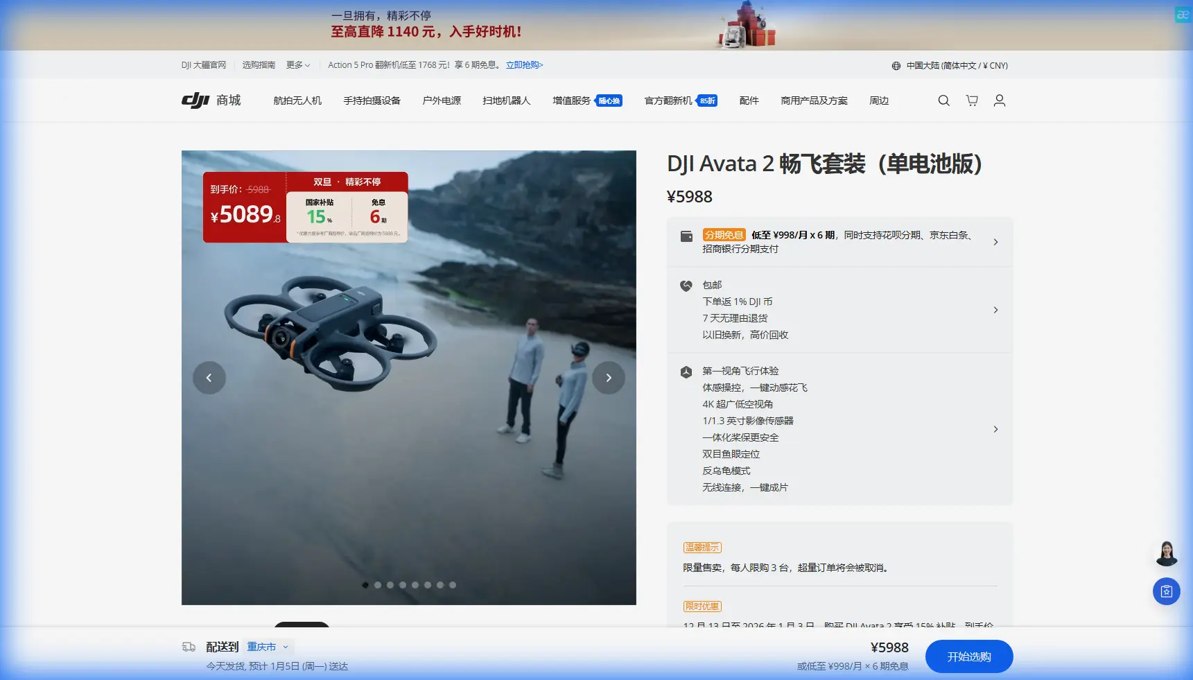
Avata 2 Case Study: Monitoring Dusty Highways When Accuracy Starts With Stable Flight
META: A field-based look at using Avata 2 around dusty highway corridors, with practical insight on flight stability, image accuracy, orthomosaic workflow, and why altitude consistency matters.
Highway monitoring sounds simple until dust gets involved.
On paper, you are just documenting a transport corridor: shoulder erosion, drainage changes, pavement edge wear, signage visibility, and work-zone progress. In the field, the air is unstable, contrast shifts by the minute, and the smallest variation in flight height starts to show up later where it hurts most—during stitching, measurement, and model reconstruction.
That is where the Avata 2 becomes interesting, not because it replaces a dedicated survey platform, but because it reveals how much operational discipline matters when the environment is messy.
I spent time thinking about this in the context of dusty highway inspection work, especially after revisiting a core principle from aerial mapping: relative flight height is one of the decisive factors behind image error in post-processing. That single idea changes how you should fly, what you should expect from the footage, and where the Avata 2 can realistically fit into a civilian monitoring workflow.
This is not a generic product overview. It is a field-minded case study built around one question: how useful is Avata 2 when a highway team needs repeatable visual coverage in dusty conditions?
The real problem is not just image quality
Most people start with the camera. That is understandable. Highway monitoring is visual by nature, and the Avata 2’s ability to capture smooth footage, D-Log material for grading, and dramatic corridor passes through constrained spaces makes it attractive for documentation.
But highway monitoring that supports engineering or progress review is not only about beautiful footage. The bigger issue is consistency.
In aerial photogrammetry, a vertical image is not just a picture from above. It is part of a geometric system. The reference material makes a crucial point: converting central perspective imagery into orthographic output depends heavily on controlling how the aircraft moves relative to the ground. If flight height drifts, image error grows. That matters later when teams import images into stitching software to create digital elevation models, orthophotos, overlay measurements, and fast 3D reconstructions.
Operationally, this means one thing: if you are flying the Avata 2 along a dusty highway and your altitude profile breathes up and down throughout the mission, your final outputs become less reliable for repeat comparison.
That does not make the Avata 2 useless. It just defines its lane.
Where Avata 2 fits on a dusty highway corridor
The Avata 2 is best understood here as a close-range visual monitoring platform, especially for sections where maneuverability matters more than wide-area survey efficiency.
Dusty corridors create a strange combination of requirements. You need speed, because road conditions can change quickly. You need control, because roadside obstacles are constant: barriers, sign gantries, culvert edges, utility poles, and construction equipment. And you need enough image coherence to support later review.
This is where obstacle awareness and controlled low-altitude flying become practical, not marketing concepts. On one run near a scrub-lined service road, a small group of birds lifted from the shoulder and crossed the flight path at low level. The useful part was not drama; it was how the aircraft’s sensing and controlled handling let the pass be adjusted without losing the route entirely. On a highway job, wildlife encounters are not rare. They are one more reason to avoid brittle flight plans.
That kind of flexibility is hard to capture on a spec sheet, but easy to appreciate in the field.
Why altitude discipline matters more than people think
The most valuable technical takeaway from the source material is straightforward: flight height variation is a decisive source of image error in post-processing.
For highway monitoring, that means a pilot using Avata 2 should think in terms of height stability, not just path smoothness. If your mission is a repeat inspection of roadside drainage, median vegetation encroachment, dust accumulation zones, or embankment change, maintaining minimal altitude variation gives your image set a better chance of being compared meaningfully over time.
This point becomes even more significant when teams want more than video clips. The source notes that images can be imported into stitching software to create a digital elevation model, orthorectified imagery, measurement overlays, and a fast 3D model. Even if the Avata 2 is not your primary surveying aircraft, the discipline used in collecting those images still affects what can be extracted later.
That is the bridge between cinematic flying and useful operational flying.
In practice, for dusty highways, I would treat Avata 2 image capture as a structured visual dataset:
- repeat the same corridor line
- keep speed changes moderate
- minimize altitude fluctuations
- use recognizable road features as reference markers
- capture overlapping views where later reconstruction may be useful
A lot of pilots focus on avoiding obstacles. Fewer focus on avoiding unnecessary vertical drift. For corridor documentation, the second point is often just as important.
Dust changes the mission twice
Dust affects a highway drone operation in two separate stages.
The first is obvious: flight visibility. Fine suspended dust can flatten contrast, hide surface texture, and reduce clarity on shoulder edges or drainage lines. This is where shooting profiles like D-Log can help preserve tonal flexibility for later interpretation, especially if your team needs to distinguish compacted surfaces from loose deposits or identify subtle material transitions.
The second effect appears later in processing. Dust reduces feature clarity, which weakens alignment confidence in stitched outputs. If you already have inconsistent altitude on top of that, the problem compounds. Soft texture plus variable flight height is a bad combination for clean mosaics and dependable 3D reconstruction.
This is exactly why the source document’s emphasis on stable height deserves more attention than it usually gets. In difficult atmospheric conditions, geometry discipline becomes more—not less—important.
The RTK lesson, even when Avata 2 is not an RTK survey tool
One of the strongest facts in the reference material is the role of high-precision GNSS RTK in reducing the need for ground control points. The cited example describes RTK-enabled aerial photogrammetry as a no-GCP method that shortens project time because crews do not need to place and measure control points across the site.
That is a major operational advantage on a highway.
Anyone who has worked beside an active road knows why. Setting out ground control can be slow, disruptive, and sometimes impractical in dusty, traffic-exposed conditions. Fewer people on the shoulder means less exposure and a cleaner workflow.
Now, Avata 2 is not the same thing as a dedicated RTK mapping airframe, and pretending otherwise would be sloppy. Still, the RTK lesson matters because it clarifies what high-value aerial data really depends on: accurate real-time position information and stable flight behavior. The source goes even further by tying these gains to advanced flight control and reduced dependence on separate onboard height collection methods.
For an Avata 2 operator, the significance is not that the drone suddenly becomes a survey replacement. The significance is that any highway monitoring plan should be honest about tiers of output.
Tier 1: Visual inspection and narrative documentation
This is where Avata 2 is strongest. Dust plumes, drainage blockages, barrier strikes, shoulder rutting, signage visibility, lane-edge encroachment, culvert access, work-zone progress.
Tier 2: Repeatable comparative imaging
Possible if the route, altitude, camera angle, and timing are kept disciplined.
Tier 3: Survey-grade mapping and higher-precision measurement
This is where dedicated RTK-capable mapping workflows still hold the advantage, especially when precision targets are strict.
That distinction helps teams deploy the Avata 2 intelligently instead of asking it to do everything.
A practical highway workflow with Avata 2
For dusty monitoring work, I would structure the mission around three passes.
1. Corridor familiarization pass
Start with a controlled fly-through to identify obstacles, dust concentration pockets, traffic-related turbulence, and wildlife movement near verges or drainage channels. Avata 2’s obstacle handling and close-quarters agility are useful here, particularly around gantries, overpasses, retaining walls, and vegetated shoulders.
2. Primary documentation pass
This is the most disciplined segment. Hold height as consistently as possible. That advice comes directly from the mapping principle in the source: minimal height variation reduces downstream image error. If the output may later be stitched or compared against another date, this pass is the backbone.
3. Context and communication pass
Use more dynamic framing only after the core documentation is captured. This is where QuickShots, Hyperlapse, and tracking-style sequences can help explain a site to project managers or stakeholders. ActiveTrack-style visual storytelling has value when teams need to communicate where dust originates, how vehicles interact with a construction transition, or how runoff crosses a disturbed roadside section.
The mistake is doing only the third pass because it looks good. The useful work comes from the second.
The bottleneck the industry still wrestles with
Another reference detail deserves attention: low IMU and POS accuracy has historically been a major bottleneck, making it difficult for domestic UAV systems to achieve demanding mapping precision targets such as 1:500 or 1:1000 workflows.
That matters even in an Avata 2 discussion because it reminds us that precision does not come from software optimism. It comes from the entire chain: sensor quality, position accuracy, flight stability, overlap, height control, and post-processing discipline.
For highway teams, this is liberating in a way. It means you should stop judging a drone only by whether it records sharp video. The better question is whether the mission design respects the geometry of the job.
With Avata 2, that means using it where its strengths are real:
- close-range corridor inspection
- obstacle-rich roadside documentation
- progress capture in constrained sections
- visual confirmation of conditions before heavier survey deployment
- recurring monitoring where practical consistency matters more than survey certification
Why this matters for highway asset teams
Dusty highways are hard on field crews. Visibility changes, ground access is awkward, and some issues are too spread out for purely ground-based documentation yet too localized to justify a full-scale mapping sortie every time.
Avata 2 fills that middle space well.
It can document conditions quickly, move through obstacle-dense sections, and gather footage that is useful for maintenance planning, contractor review, and condition reporting. But the key insight from the reference material is what separates casual drone use from operational drone use: stable relative altitude and accurate positional awareness are not abstract survey concepts. They directly influence whether your imagery can support meaningful analysis later.
That is the part many teams miss.
If you are building a repeat inspection routine, the smartest move is to define a standard corridor path, a preferred height band, a repeat camera orientation, and a fixed review method for outputs. If you need help shaping that workflow around a real road project, you can message a field specialist here.
The bottom line on Avata 2 for dusty highway monitoring
The Avata 2 earns its place on a highway monitoring team when used with discipline.
Its agility, obstacle handling, and strong visual capture make it effective for close-range inspection in dusty, cluttered corridors. But the most valuable lesson comes from aerial mapping practice, not from feature lists: altitude consistency is one of the biggest drivers of usable image output. If your flight height is erratic, your post-processed results suffer. If your route is controlled and repeatable, the value of the imagery rises quickly.
The source material also points toward a larger industry truth. High-precision GNSS RTK and better flight-control integration have reduced the need for ground control in some photogrammetry workflows, saving time and simplifying field operations. While Avata 2 should not be confused with a dedicated RTK survey platform, that same logic helps define how it should be flown: with structure, with consistency, and with a clear understanding of what the data needs to become afterward.
Used that way, Avata 2 is not just a camera in the air. It becomes a practical highway observation tool—especially in dusty environments where getting close, staying stable, and coming back with interpretable imagery matters more than spectacle.
Ready for your own Avata 2? Contact our team for expert consultation.