Avata 2 Scouting Tips for Venues: Why Better Height Control
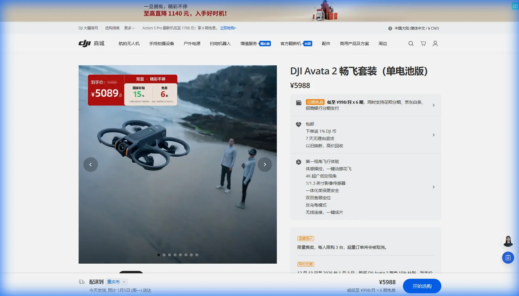
Avata 2 Scouting Tips for Venues: Why Better Height Control Changes Everything in Complex Terrain
META: A technical review of DJI Avata 2 for venue scouting in uneven terrain, with real-world insight on height stability, obstacle awareness, D-Log workflow, and safer pre-shoot flight planning.
I used to dread the first recon flight at a new venue when the site looked beautiful on a map but turned chaotic in person.
Cliffside lawns. Split-level resorts. Forest ceremony decks hidden behind tree cover. Outdoor stages built into a slope that falls away faster than your eye expects. As a photographer, those are the assignments that can either produce unforgettable establishing shots or waste an hour while you fight altitude changes, visual confusion, and inconsistent framing.
That is the lens through which I look at the Avata 2.
Most commentary around this aircraft circles around the obvious points: immersive flight, compact form, dramatic angles. Those are real strengths, but for venue scouting in complex terrain, the more interesting question is simpler: how reliably can you read vertical space while moving through it?
That matters more than many buyers realize. A scouting drone is not just there to grab a cinematic reveal. It has to help you understand elevation transitions, identify approach routes, preview guest movement corridors, and assess whether your planned camera positions still make sense when the ground rises, drops, narrows, or disappears behind vegetation and structures.
The underrated problem: height drift ruins scouting judgment
When you scout a venue, bad altitude behavior creates more than ugly footage. It distorts decision-making.
If the aircraft climbs and sinks unpredictably while you are tracing a pathway from parking area to ceremony platform, your mental map of the venue gets less reliable. A staircase can appear shallower than it is. A terrace edge may look safer than it feels on foot. A recessed seating area can vanish into the scene until you are almost on top of it.
That is why one reference point stood out to me from the source material behind this piece. The cited technical work describes a drift-free dynamic height sensor built by fusing a MEMS IMU with a MEMS pressure sensor, using a Kalman filter to stabilize vertical positioning. The core idea is practical, not academic: accelerometers react quickly but tend to drift, while barometric sensing can stabilize that drift and support higher-fidelity height tracking.
For venue scouting, that principle is operationally significant.
A drone moving through uneven space needs two things at once. It needs to respond fast when you dip under a tree line or rise along a retaining wall, and it needs to avoid gradually “lying” about height over the course of a moving shot. The source material specifically frames this sensor-fusion approach as useful under dynamic indoor and outdoor conditions, which is exactly the type of mixed environment venue professionals run into: covered pavilions, open lawns, entry corridors, tented receptions, and half-sheltered overlooks.
The Avata 2 is not being sold on a university paper, of course. But the underlying lesson applies directly to how we evaluate it in the field: stable vertical behavior is not a luxury feature. It is what lets a scouting drone produce footage that is genuinely informative.
Why Avata 2 feels different on complex sites
The Avata 2 makes difficult locations easier not because it turns every pilot into an expert, but because it lowers the workload involved in reading three-dimensional space.
That matters at venues where the challenge is not distance. It is compression. Terrain, landscaping, guest structures, and decorative elements often stack into the same narrow operating zone. You are not just flying across land. You are threading through a working environment where height changes constantly affect the shot.
On a recent recce-style workflow, I thought back to an older venue scout where I had to piece together elevation by comparing drone footage, walking video, and stills taken from the ground. It was tedious. The biggest issue was that some passes looked smooth at first glance but actually masked the steepness of the slope because the aircraft’s vertical relationship to the terrain wasn’t intuitive enough in playback.
With the Avata 2, that sort of confusion is easier to catch early. The aircraft’s design encourages lower, more spatially aware passes, and that alone improves terrain reading. But what really helps is how it supports more deliberate movement around obstacles and through changing elevation bands. You start building a usable visual survey instead of a random collection of dramatic clips.
Sensor fusion matters more than spec-sheet bragging
Let’s stay with the technical reference for a moment, because this is where real scouting value emerges.
The source describes a system in which change in height is computed by double-integrating accelerometer signals and then stabilized using barometric input. That is not just an engineering footnote. It explains why pure motion response and pure pressure sensing each have limitations on their own.
Accelerometers can react immediately to movement, but without correction, the estimate drifts. Pressure-based altitude measurements can provide stability, but they are not enough by themselves for fast, highly dynamic transitions. Blending them through a Kalman filter gives you a more reliable picture of vertical motion over time.
For an Avata 2 operator scouting venues, this translates into two practical benefits:
1. More trustworthy slope reads
When you slide along a hillside reception site or descend toward a lower ceremony lawn, your footage needs to preserve the shape of the ground in a believable way. If altitude handling is unstable, the site can look flatter or more dramatic than it is. A fused approach to vertical estimation supports cleaner, more consistent height tracking while moving.
2. Better route planning around mixed cover
Many venues have awkward transitions between open and semi-enclosed spaces. Think breezeways, covered terraces, barn entrances, tree tunnels, or amphitheater overhangs. The source material specifically mentions stable measurements in indoor/outdoor dynamic conditions, and that is a big clue for how to think about drone usefulness in hospitality and event environments. You need a platform that can help you preview these transition zones without making every altitude change feel uncertain.
Obstacle awareness is only half the story
Search demand often clusters around terms like obstacle avoidance, ActiveTrack, and QuickShots. Those features matter, but they can distract from the deeper issue.
Obstacle avoidance helps prevent obvious mistakes. It can save you from clipping a branch during a reveal or drifting too close to a structure during a line inspection of the venue perimeter. For scouting, though, the real value is cognitive. When the aircraft can assist with spatial awareness, you spend less mental energy on pure survival and more on analysis.
That opens room for better questions:
- Where would a bride or keynote speaker first come into view on this path?
- Does the terrain support a clean low fly-through before the deck opens to the landscape?
- Can guests move between upper and lower levels without causing visual clutter in wide shots?
- Is there a useful split between drone establishing shots and ground gimbal coverage?
The Avata 2 is strong when used as a spatial reading tool, not just a clip generator. In that role, obstacle handling and stable height behavior work together. One protects the aircraft; the other protects your judgment.
ActiveTrack and subject-based scouting
I am cautious with automated subject tools in tight venue environments, but they can be genuinely useful during recce work.
If a coordinator or assistant walks the main route from entrance to ceremony area, ActiveTrack-style functionality can help visualize how a person occupies the landscape. That gives you more than a topographic survey. It gives scale. You begin to see where the path narrows, where a reveal feels too abrupt, and where the venue’s best transitions actually happen.
This is where altitude consistency becomes quietly essential again. Tracking a person across stairs, ramps, and split-level spaces only makes sense if the drone’s vertical relationship to the moving subject remains believable. Otherwise the route looks smoother than it is, and you may under-plan for the real shooting day.
D-Log is not just for grading nerds
Venue scouting footage often gets treated as disposable. I think that is a mistake.
If you capture your recce flights in D-Log, the footage becomes more useful later when the team is reviewing contrast-heavy spaces such as sunset overlooks, shaded courtyards, or interiors that open to bright exterior views. You are not simply trying to make the scout look pretty. You are preserving tonal information that helps reveal problem areas.
A ceremony platform under trees with a bright valley beyond can fool the eye during a quick monitor check. Flattened capture gives you more room to evaluate where details hold and where the venue may create exposure challenges for the actual production day.
For photographers and hybrid shooters, that is a serious advantage. You can inspect both space and light from the same flight set.
QuickShots and Hyperlapse have a legitimate scouting use
I usually ignore flashy automated modes in technical reviews unless they solve a real workflow problem. In this case, they can.
QuickShots are useful when you need repeatable motion previews for client-facing planning. A consistent reveal around a pavilion or a pullback over a cliffside deck helps non-pilots understand the venue geometry quickly. They do not need to decode your manual flight style. They just need a clean visual explanation.
Hyperlapse is especially helpful when assessing environmental rhythm: shadow movement across key areas, guest flow corridors, traffic buildup near entrances, or how wind patterns affect décor zones over time. For venue operators, planners, and visual teams, that can expose timing issues that static images miss.
Again, this only works if the aircraft behaves predictably in vertical space. Time-compressed motion over uneven terrain can become visually misleading very fast if altitude reference is sloppy.
The real advantage for photographers
As a photographer, I do not need the drone to replace my eye. I need it to reduce uncertainty before the main shoot starts.
That is why I keep coming back to the technical idea embedded in the source material: a low-cost, low-power, small-form-factor solution for drift-free high-resolution vertical positioning achieved by combining fast but drift-prone accelerometer data with a stabilizing barometric altimeter. Strip away the academic language, and what you are left with is this: better height information leads to better decisions.
That is exactly what makes the Avata 2 compelling for venue scouting in difficult terrain.
It helps answer practical questions early:
- Which reveal shot is actually worth the battery?
- Where does the property’s elevation create visual drama instead of confusion?
- Which path can be flown safely and still tell the story of the venue?
- Where should the ground team stand to preserve the site’s scale?
Those are the decisions that save time on the real shoot day.
Where I would use it most
The Avata 2 is especially strong for:
- hillside wedding venues with multiple levels
- resorts with pathways, decks, and drop-offs
- vineyards with terraced access roads
- forest venues with partial canopy cover
- coastal properties where elevation changes distort perspective from the ground
These are all environments where vertical context matters as much as horizontal movement.
If you are comparing venue-scouting workflows or want a field-oriented recommendation, you can message our drone team on WhatsApp and ask specifically about terrain-heavy site planning rather than generic camera specs.
Final take
The smartest way to evaluate the Avata 2 for venue scouting is not to ask whether it can produce cinematic footage. Of course it can.
Ask whether it helps you understand space more accurately.
That is where the reference material becomes surprisingly relevant. Its discussion of Kalman-filtered fusion between MEMS accelerometers and a pressure sensor, plus the emphasis on stable indoor/outdoor dynamic height measurement, gets to the heart of why some drones feel trustworthy in complicated environments and others do not. For scouting, vertical confidence changes everything. It improves route planning, shot design, safety margins, and collaboration with clients and coordinators.
The Avata 2 works best when you treat it as a precision reconnaissance tool for civilian creative work. In uneven venues, that is far more valuable than a highlight reel.
Ready for your own Avata 2? Contact our team for expert consultation.