
How I’d Scout Vineyards in Extreme Temperatures With Avata 2
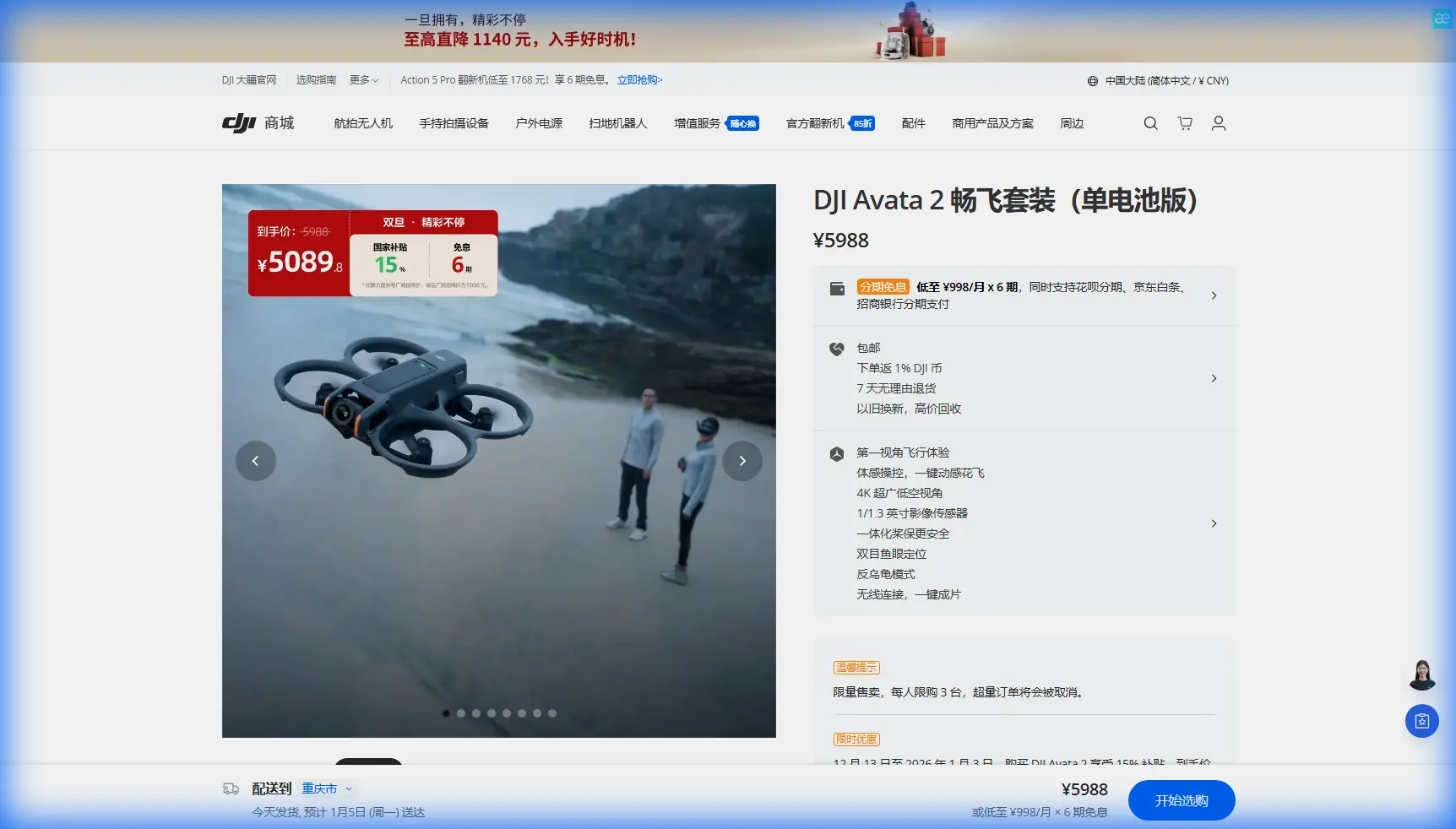
How I’d Scout Vineyards in Extreme Temperatures With Avata 2
META: A practical expert guide to using Avata 2 for vineyard scouting in extreme weather, with lessons from utility drone inspection workflows, thermal logic, GPS route planning, and safer close-range visual checks.
Vineyard scouting gets harder exactly when it matters most.
Heat spikes stress vines fast. Cold snaps expose weak blocks. A wind shift can change the behavior of an entire row, especially in sloped or broken terrain. The problem is not just seeing the vineyard. It is seeing enough detail, soon enough, and without turning a field walk into a slow, partial, high-fatigue exercise.
That is where I think the Avata 2 becomes interesting.
Not because it is a generic “drone for agriculture,” and not because every flight mode deserves equal attention. It becomes useful when you borrow a discipline from another sector that has already learned to inspect long, risky, repetitive corridors: the power industry.
One reference point from utility inspection stands out. Traditional line patrols struggle when routes are long, labor volume is high, and walking inspections are simply too slow to improve efficiency. That maps neatly onto vineyard scouting in extreme temperatures. A large vineyard is not a utility corridor, but operationally it can feel similar: long repeated paths, terrain variation, time pressure, and a lot of risk in relying on human eyesight alone.
The second utility detail matters even more. In that workflow, the aircraft flies inspection routes based on pre-planned GPS tower coordinates, captures close visual evidence, and sends information back to the ground station in real time. For vineyards, the equivalent is straightforward: pre-plan the route by block, row direction, slope transition, and known stress zones; then fly repeatable passes that let you compare what changed, instead of improvising every mission and hoping your memory fills the gaps.
That is the mindset I would use with Avata 2.
Why Avata 2 fits vineyard scouting better than a casual photo flight
If your goal is only cinematic footage, almost any capable drone can produce something attractive over a vineyard at golden hour. That is not the assignment here.
Scouting in extreme temperatures means you are looking for clues under pressure:
- uneven canopy density
- irrigation irregularities
- heat-stressed sections
- wind-exposed rows
- blocked access paths
- signs of physical damage near trellis lines
- areas that deserve immediate ground verification
The utility inspection reference describes several practical benefits of UAV visible-light inspection: a wider working range, flexible shooting angles, closer distance to the target, and richer image detail than manual visual patrols. That combination is exactly why an Avata 2-style platform can be so useful in vineyards. You are not replacing agronomy judgment. You are compressing the time it takes to gather visual context around that judgment.
A person walking rows has limited sightlines and plenty of blind spots. The source document says the same problem exists in manual line inspection: the field of view is limited, and blind areas remain. In vineyards, those blind spots show up behind canopy walls, at slope breaks, around tree lines, and in sections where changing light hides subtle color or texture differences.
Avata 2 helps because it can get lower, closer, and into tighter spaces than pilots usually attempt with larger camera drones. That matters when you need to inspect a row edge, follow trellis geometry, or peek along an access lane after sudden weather changes.
My how-to workflow for scouting vineyards in temperature extremes
1. Build the mission around repeatability, not exploration
The biggest mistake I see is treating every scouting flight like a one-off discovery mission.
The utility model starts with pre-programmed GPS points. In power inspection, those points are tower coordinates. In vineyards, I would define them as operational markers:
- block entrances
- highest and lowest elevation points
- known frost pockets
- exposed ridge rows
- irrigation junction areas
- historically weak zones
- transition areas between soil types
Even if Avata 2 is not being used as a classic mapping platform, the principle still holds. Fixed start points and repeatable paths create comparable observations. That is what turns flights into scouting data instead of just footage.
If temperatures are extreme, I would split the mission into short segments rather than one long pass. Early morning and late afternoon light can produce dramatically different visual readings, especially across mixed terrain. A segmented route also gives you more control if weather shifts mid-flight.
2. Start with visible-light scouting before chasing edge cases
The power-sector reference explains that visible-light inspection is used to look for physical defects such as conductor strand damage, loose fittings, insulator damage, or other visible abnormalities. Translate that to vineyard work and you get a clear first pass objective: identify what is visibly wrong before trying to infer deeper causes.
With Avata 2, I would begin with low-altitude visual sweeps focused on:
- canopy gaps
- broken trellis components
- collapsed wires
- irrigation overspray patterns
- vehicle damage at row ends
- isolated row discoloration
- signs of heat stress concentrated on exposed edges
This is where obstacle avoidance and precise low-speed control become operationally important, not just convenient. Vineyard rows can become deceptively complex flight corridors. Posts, wires, netting, and irregular vegetation create a cluttered environment. If the weather is already challenging, the value of robust obstacle sensing rises immediately.
The goal of the first pass is not artistic smoothness. It is to create a reliable visual baseline.
3. Use close-angle inspection intentionally
One of the best points in the reference material is that UAVs can shoot from flexible angles and from closer distances, which produces better detail than standard line-of-sight inspection on foot. That detail advantage is easy to underestimate.
From a walking path, you might spot weak vigor in a row but miss that the issue begins at a precise slope break, or that it follows an irrigation pattern, or that it clusters around an edge facing reflected heat from a road or stone wall.
With Avata 2, I would use three angles on problem blocks:
- a forward low pass down the row
- a lateral pass across row faces
- a short elevated reveal over the top of the canopy
Those three views often explain more than a top-down glance. If needed, QuickShots or a controlled Hyperlapse sequence can help document progression across larger sections, not as marketing footage, but as a compact way to visualize spatial changes over time for managers or field teams.
What happened when the weather changed mid-flight
This is where the aircraft stops being a toy and starts proving its place in the workflow.
Imagine a late-afternoon scouting run during an extreme heat period. The mission begins in hard sunlight over the upper blocks. Vines on the ridge look thinner than expected, but still consistent enough that you want another pass from a lower angle. Halfway through the flight, the weather turns. A gust front pushes in, light flattens, and dust starts moving along the access road. At the same time, the temperature drop changes the appearance of the canopy in ways that can fool a rushed observer.
That kind of shift is exactly why I prefer a disciplined route structure.
Because the flight path was planned by block and checkpoint rather than improvised, I can stop trying to cover everything. I can return to two priority zones and make sure I capture the same viewing angles before and after the change. The result is useful comparison, not random footage.
In those conditions, Avata 2’s maneuverability matters more than raw coverage. You need to stay stable near row edges, avoid trellis hazards, and hold enough composure to keep collecting usable evidence. Obstacle avoidance is not a footnote here. It reduces the chance that a sudden correction near wires or posts ends the mission right when conditions get interesting.
Subject tracking and ActiveTrack can also be useful, though not in the obvious way. I would not use them to “follow vines.” I would use tracking selectively on a utility vehicle or scout walking a problem row so that the aerial view stays anchored to the human inspection effort. That creates a synchronized record: what the person on the ground saw, what the aircraft saw from above, and exactly where the issue sits in the block.
What utility-style thermal logic teaches vineyard teams
The reference document also describes infrared inspection as a way to detect hidden faults by comparing temperature anomalies. In the power world, the aircraft looks for abnormal heating at joints, clamps, connectors, insulators, and similar components. The operational idea is bigger than the hardware itself: thermal differences reveal problems that visible-light inspection can miss.
That logic matters for vineyards even when your Avata 2 mission is primarily visual.
If your broader operation includes thermal-capable assets, use Avata 2 as the fast, close-in visual layer that confirms what temperature anomalies mean on the ground. A hot patch in the canopy is not enough by itself. You still need visual context. Is the problem irrigation? Wind exposure? Soil variation? Damaged structure? Uneven fruit load? Shadow behavior after the weather change?
The utility reference makes a strong point that combining visible-light inspection with thermal inspection improves fault-detection accuracy. That is just as true in agriculture. Thermal tells you where to look. Close visual scouting tells you what you are probably looking at.
And there is another useful detail from the source: infrared-equipped UAVs improve emergency response at night by finding fault points quickly and buying repair crews valuable time. Translate that carefully into civilian vineyard operations and the lesson is clear. During overnight frost response, post-heat infrastructure checks, or urgent irrigation troubleshooting, fast aerial confirmation can save critical time before field crews commit labor and equipment.
Why dangerous terrain changes the ROI of a scouting flight
One overlooked line in the source material mentions special inspection zones such as mountains and difficult crossing areas, where traditional methods are hard to execute but UAV mobility works well. This is highly relevant for vineyards planted on steep terrain.
Walking a flat block in mild weather is one thing. Scouting steep vineyard sections after extreme heat, loose ground, sudden rain, or temperature-driven fatigue is another. In those settings, the value of Avata 2 is not only image capture. It is exposure reduction.
If a drone can tell you which rows actually deserve human follow-up, you reduce wasted movement and unnecessary risk. That is operational significance, not convenience.
This is especially helpful when weather events stack together. Heat, then wind. Frost, then muddy access. Dry conditions, then fire-risk restrictions near surrounding land. The reference even notes targeted special inspections for recurring ice and fire-prone sections. Vineyards have their own equivalents: known hot corners, persistent cold pockets, exposed perimeters, and blocks that repeatedly underperform during weather stress. Those should become permanent aerial checkpoints in your scouting routine.
Capture for analysis, not just memory
If I were building a serious Avata 2 vineyard workflow, I would also shoot in a way that preserves grading flexibility. D-Log can help when harsh light and fast-changing skies create severe contrast between canopy, soil, and shadows. You want enough latitude to review details later without guessing what was hidden in clipped highlights or crushed shadows.
The point is not to overproduce the footage. The point is to keep it usable.
After the flight, I would log findings by block with simple categories:
- immediate field check needed
- monitor next flight
- weather-related temporary shift
- probable infrastructure issue
- probable irrigation issue
- probable canopy stress issue
That keeps the drone in its proper role: a decision-support tool.
When to keep the mission simple
Not every vineyard scouting task needs every Avata 2 feature. Some of the most effective flights are boring by design.
One route. Same angle. Same speed. Same problem rows.
That discipline is what lets you notice a subtle change after a temperature event or weather swing. Fancy moves have their place, but consistency beats flair in agricultural scouting. If you need help designing a practical flight pattern around your blocks and weather windows, you can message a vineyard drone workflow specialist here.
The best part of adapting utility inspection logic to vineyard scouting is that it removes the guesswork from why you are flying in the first place. Long routes, limited ground visibility, hazardous terrain, and the need for faster fault detection are not abstract drone talking points. They are real operational problems, and the source material makes that plain.
Avata 2 will not replace agronomists, growers, or field crews. It will not diagnose every stress signal from the sky. What it can do, when used with inspection discipline, is shorten the gap between “something feels off” and “here is the exact part of the vineyard we need to inspect now.”
That is the difference between flying for content and flying with purpose.
Ready for your own Avata 2? Contact our team for expert consultation.