
Avata 2 for Low-Light Highway Survey Work
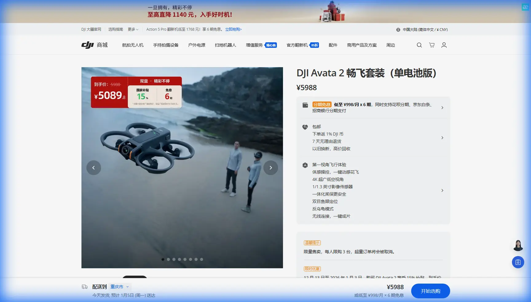
Avata 2 for Low-Light Highway Survey Work: A Field Case Study Built Around Process, Safety, and Data Integrity
META: A practical case study on using DJI Avata 2 for low-light highway survey support, with lessons drawn from formal UAV mapping quality control, safety risk assessment, data backup discipline, and pre-flight obstacle sensing care.
Highway survey work in low light has a way of exposing weak habits.
A drone that feels perfectly manageable in open daylight can become far less forgiving near embankments, guardrails, overpasses, utility crossings, and uneven terrain once contrast drops. That is why the most useful way to talk about Avata 2 for this kind of work is not as a flying camera with a feature list. It is as a tool inside a disciplined survey workflow.
One technical design document for a rural cadastral UAV mapping project makes that point better than most marketing material ever could. The project schedule was tight: 3D modeling, terrain map correction, and aerial survey office mapping were due before February 29, with pilot-area deliverables submitted by March 7 and accepted by March 15. The remaining flight, modeling, field control collection, terrain revision, and mapping tasks had to be wrapped by April 15. Those dates matter because they reveal the real pressure in professional drone operations: not just getting airborne, but getting reliable outputs through inspection, reporting, archive, and acceptance on time.
If you are considering Avata 2 for highway survey support in dim conditions, that is the frame that matters.
Why Avata 2 enters the conversation at all
Avata 2 is not a classic long-endurance mapping platform. Anyone serious about survey knows that. But on highway jobs, there are specific gaps where a compact FPV-style aircraft can be operationally valuable.
Low-altitude visual inspection of roadside features.
Short-range review of drainage edges, retaining walls, culvert approaches, barrier continuity, lane-edge damage, and construction staging zones.
Rapid documentation in periods when ambient light is fading but teams still need same-shift visual confirmation.
Close-in capture where maneuverability matters more than wide-area endurance.
That is where Avata 2 starts to make sense.
Its obstacle awareness and stabilized video system can help a crew inspect complex roadside geometry in a more controlled way than a larger platform in certain confined segments. Its D-Log workflow also matters when lighting is messy. Low-light highway scenes often mix vehicle lighting, sodium or LED roadway lamps, reflective paint, dark asphalt, and deep shadow under structures. A flatter recording profile gives more room to balance those extremes later, especially when the purpose is interpretive review rather than cinematic output.
Still, the drone is only half the story. The rest is process.
The lesson from formal survey projects: quality control starts before takeoff
The reference document requires quality control under GB/T 24356-2009 and GB/T 18316-2008, using a two-level inspection and one-level acceptance system. In practical terms, this means work is not trusted simply because a pilot says it looks good. The project team conducts process checks, the company quality department performs final inspection, and a higher authority conducts acceptance.
That structure has direct relevance for Avata 2 highway survey use.
If you are flying low-light roadside missions, your internal workflow should mimic that same logic:
- Process check during acquisition
- Formal review of footage and logs after flight
- Acceptance against the job objective, not against personal opinion
This is especially important when Avata 2 is used to support survey interpretation rather than produce final geodetic deliverables. A pilot may capture smooth footage and still miss the real target: a crack line hidden by glare, a shoulder erosion point masked by shadow, or a utility marker passed too fast to verify.
The reference document also states that first-level inspection should involve the project inspector going into the work area to guide operators and check quality throughout the process, with 100% inspection of results. For Avata 2 work, that principle translates well. On a highway corridor, especially in low light, you do not want random spot checks. You want a complete review of every relevant sortie segment tied to the survey task.
That could mean:
- verifying every bridge approach pass
- checking every drainage transition capture
- confirming every tagged hazard location is visible and usable
- validating whether low-light noise or motion blur compromises interpretation
When teams skip that discipline, they often discover the problem back in the office, when the road closure is gone and the crew has dispersed.
The pre-flight cleaning step most crews underestimate
The prompt here suggests a simple narrative spark: a pre-flight cleaning step for safety features. That is not a trivial add-on. On Avata 2, it can decide whether your safety systems are trustworthy in marginal light.
In low-light highway operations, dust, fine mist, road film, insect residue, and fingerprint smearing can degrade obstacle sensing performance. Even a light film on forward sensing surfaces can reduce contrast and reliability at the exact moment you are threading along barriers, signage, embankment edges, or under structural elements.
So before discussing flight modes, I would put this near the top of every shift brief:
Clean the sensing surfaces and camera glass before every low-light sortie.
Not casually. Deliberately.
Use a proper lens cloth. Check for haze, not just visible dirt. Confirm no moisture bloom from temperature change. Inspect after transport because roadside deployment cases collect debris fast. Then do a short hover test and a controlled movement check before beginning the actual run.
Why does this matter operationally? Because low-light highway flying already reduces the visual margin available to both aircraft and operator. If obstacle avoidance is part of your risk control stack, degraded sensors quietly weaken that layer. The drone may still fly. The footage may still look acceptable. But your confidence in close-proximity navigation should not remain the same.
This connects directly to one of the strongest points in the reference project file: every project should begin with a safety risk assessment, and a response measure should be established for each identified risk. That is not abstract compliance language. For Avata 2, “sensor contamination before low-light operation” is a perfectly valid risk item. So is “reduced obstacle contrast near dark roadside structures.” So is “data loss from delayed backup after field capture.”
A professional workflow names those risks before they become incidents.
A realistic low-light highway use case for Avata 2
Imagine a survey support team tasked with documenting several short highway segments during the evening transition. The aim is not full corridor mapping from a single aircraft. It is targeted visual acquisition to support engineering review of shoulder condition, barriers, drainage entries, and temporary works near a live roadway.
The crew uses a primary survey platform earlier in the day for broader capture and control-related work. Avata 2 comes in later for close-range, spatially intuitive inspection where maneuverability and stabilized low-altitude movement are more valuable than coverage rate.
Here is how that deployment can work well.
1. Risk assessment before deployment
The source document requires a formal danger-source and risk evaluation sheet, plus a major risk list submitted for approval. For a compact field team, you may not mirror the paperwork exactly, but the structure is worth adopting.
For this case, risks might include:
- reduced visibility at pavement edge
- reflective glare from road markings
- moving vehicles affecting concentration and safety perimeter
- loss of detail in dark drainage recesses
- obstacle sensing degradation from dirty optics
- battery management issues during repeated short flights
- data handling errors after multiple quick sorties
Each risk should have a control measure. Not broad statements. Specific actions.
Example: if glare from headlights affects visibility, schedule capture during controlled traffic windows or reposition to avoid direct alignment with oncoming light sources. If obstacle sensing reliability may be reduced, increase stand-off distance from vertical features and lower lateral speed.
That is the difference between hobby flying and field operations.
2. Short, task-based flight plans
Avata 2 is best used in compact mission blocks here. Instead of trying to stretch a single flight across too much roadway, divide the highway survey support work into inspection objectives:
- Segment A: barrier continuity at interchange approach
- Segment B: culvert inlet and shoulder erosion
- Segment C: retaining wall toe and drainage outlet
- Segment D: construction taper and temporary marker visibility
This mirrors the schedule logic in the reference document, where work is broken into defined deliverables with milestone dates rather than treated as one shapeless operation. Survey managers already think this way. Avata 2 should fit that pattern.
3. Controlled motion over speed
FPV-style drones can tempt operators into flying dynamically. That is the wrong instinct for survey support in low light. The job is not to make the corridor look dramatic. The job is to produce interpretable information.
Obstacle avoidance, stable framing, and repeatable passes matter more than aggressive maneuvering. If the team needs a clean review of a drainage edge or joint line, slower movement with careful camera angle control is worth more than one flashy continuous run.
This is where tools like subject tracking or ActiveTrack are usually less central than many people assume. On a highway survey task, you are rarely “tracking” a subject in the consumer sense. You are tracking a line of infrastructure or revisiting a defect path. The more relevant capability is predictable positional control while keeping the feature legible.
QuickShots and Hyperlapse also sit on the edge of usefulness here. They can help with contextual overviews or progress storytelling for clients and internal reporting, but they should not replace deliberate, manually planned evidence capture. If used, they belong after the core survey support footage is secured.
D-Log is not just a color preference in this setting
Low-light highway scenes are rough on standard rendering. Reflective signs blow out. Shadows under bridge edges block up. Wet surfaces create tonal confusion. D-Log can be useful because it preserves more flexibility for later review.
That matters for two reasons.
First, interpretation. Engineers and project managers often need to examine detail at the edges of brightness extremes. If the image is heavily baked in-camera, small but meaningful surface information can disappear.
Second, consistency. When multiple evening flights cover adjacent segments under changing ambient light, D-Log gives post-processing more room to normalize footage across the set. That makes comparative review easier.
But there is a tradeoff. D-Log footage needs a controlled post workflow. If your team does not have one, the benefit weakens fast. Again, the reference document’s emphasis on process inspection is relevant. Image acquisition choices must match office handling capacity.
Data security is not an afterthought on rushed evening jobs
One of the most practical details in the source text is the requirement to back up data promptly during operations to prevent file loss. It also stresses that original imagery, control results, and processed outputs should be sorted and backed up in time, with the project lead responsible for checking and backing up all project result data.
That is a field lesson too many crews learn the hard way.
Avata 2 often gets used in fast-turn environments: quick launch, short run, swap battery, next segment. That rhythm creates a false sense that footage is easy to manage. It is not. Low-light jobs produce files that may look similar at a glance, and if you postpone sorting, you increase the odds of missing a critical segment or overwriting field notes.
A better method:
- label each sortie by segment and task immediately
- transfer files before leaving site when possible
- maintain duplicate storage
- note any suspect capture while still in the field
- have the project lead verify completeness against the inspection objective list
If your team is refining this kind of workflow and wants to compare field handling practices, you can message a UAV workflow specialist here.
That is not bureaucracy for its own sake. On highway survey support, reacquiring footage can be expensive, disruptive, and sometimes unsafe.
Safety on the ground is as critical as safety in the air
The source material spends substantial time on field safety beyond flight itself: vehicle movement, avoiding night driving when possible, water and electrical safety, theft prevention, fire awareness, and environmental factor assessment. That broader view is exactly right for roadside drone work.
Most incidents around highway drone tasks do not begin with the aircraft. They begin with rushed parking, poor perimeter control, fatigue, weak communication, or bad file discipline in dim conditions.
For Avata 2 crews, that means:
- brief the team before site entry
- define launch and recovery zones away from traffic influence
- secure batteries and media handling in an organized station
- avoid improvising from unsafe roadside positions
- leave enough time to pack, verify files, and depart without turning the end of shift into the riskiest part of the day
The reference document also calls for safety briefings that are recorded before project execution. Even if your organization uses a lighter format, the principle holds. Briefing should cover not only flight path and roles, but also where data cards go, who verifies backups, who watches the perimeter, and what conditions trigger mission termination.
The real value proposition of Avata 2 in this niche
For low-light highway survey support, Avata 2 is not the universal answer. It is a highly useful secondary tool when the mission benefits from close-in maneuverability, visual immersion, and stable short-range capture in complex roadside spaces.
Its strongest role is not replacing formal survey aircraft or standard mapping systems. It is improving observational coverage where the infrastructure is spatially awkward, time windows are tight, and interpretive video matters.
Used casually, it is just another drone.
Used inside a structured workflow, it becomes far more than that.
The reference project document shows what serious UAV operations look like: milestone discipline, layered quality control, explicit risk assessment, full-result inspection, organized records, and immediate data backup. Bring that mindset to Avata 2, and even a compact platform can deliver reliable value on demanding highway jobs.
Especially in low light, professionalism is not about flying confidence alone. It is about whether the whole chain holds together: clean sensors, realistic risk controls, targeted flight planning, usable image profiles, complete review, and secure data handling.
That is how a small aircraft earns a place on a serious survey team.
Ready for your own Avata 2? Contact our team for expert consultation.