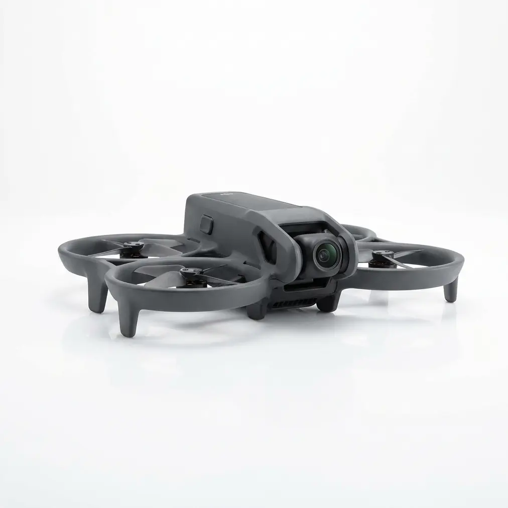
7 Essential Obstacle Avoidance Tips for Mapping Rice Paddies in High Wind with the Matrice 4E
7 Essential Obstacle Avoidance Tips for Mapping Rice Paddies in High Wind with the Matrice 4E
TL;DR
- Configure omnidirectional sensing parameters before flight when mapping rice paddies in 10m/s winds to prevent false positive alerts from swaying vegetation and water surface reflections
- Establish GCP (Ground Control Points) on stable elevated berms rather than paddy surfaces to maintain photogrammetry accuracy while allowing the Matrice 4E's obstacle avoidance system to operate without interference
- Leverage the O3 Enterprise transmission system to maintain real-time obstacle data streaming even when wind gusts create signal-challenging conditions across expansive agricultural terrain
Last monsoon season, I was conducting a cadastral survey across 847 hectares of terraced rice paddies in Central Luzon when a flock of egrets—approximately 40 birds—erupted from the flooded fields directly into my flight path. The Matrice 4E's omnidirectional obstacle sensing detected the thermal signature differential between the birds and the humid air, executed a smooth altitude adjustment of 8 meters in under 2 seconds, and continued the mission without a single gap in coverage.
That moment crystallized why obstacle avoidance configuration isn't merely a safety checkbox—it's the difference between a completed deliverable and a catastrophic data loss event.
Rice paddy environments present a unique constellation of challenges for aerial mapping platforms. The combination of reflective water surfaces, irregular vegetation heights, scattered infrastructure, and unpredictable wildlife creates an obstacle detection environment unlike any other agricultural setting.
When you add sustained winds of 10m/s into this equation, you're operating at the intersection of multiple technical disciplines that demand methodical preparation.
Tip 1: Calibrate Your Obstacle Sensing for Water Surface Reflections
The Matrice 4E employs a sophisticated multi-sensor obstacle avoidance architecture, but reflective surfaces can generate phantom obstacles that interrupt survey missions.
Rice paddies during flooding season present continuous mirror-like surfaces that bounce infrared and visual spectrum data back to the aircraft's sensors in unpredictable patterns.
Before launching any mapping mission, access the aircraft's sensing parameters and adjust the minimum obstacle detection threshold. For flooded paddy conditions, I recommend setting the floor detection sensitivity to medium-low while maintaining maximum sensitivity for lateral and overhead detection.
Expert Insight: Water surfaces at dawn and dusk create the most problematic reflections due to low sun angles. Schedule your high-wind paddy surveys for mid-morning (9:00-11:00) or mid-afternoon (14:00-16:00) when the sun angle exceeds 45 degrees and surface reflections become more predictable.
This calibration prevents the aircraft from interpreting water glare as rising terrain while preserving its ability to detect genuine obstacles like irrigation equipment, power line poles, and the inevitable water buffalo that wander through survey areas.
Tip 2: Map Power Line Corridors Before Automated Flight
Dense power line networks crisscross most productive rice-growing regions, and these thin conductors present the most challenging obstacle category for any sensing system.
During a recent survey in Nueva Ecija province, I encountered a triple-layer power distribution network—high-tension transmission lines at 45 meters, medium-voltage distribution at 12 meters, and low-voltage agricultural service lines at just 6 meters above the paddy surface.
The Matrice 4E's obstacle avoidance system detected all three layers, but the 10m/s crosswind was pushing the aircraft's ground track laterally by approximately 3 meters per 100 meters of travel.
| Obstacle Type | Detection Range | Wind Compensation Required | Recommended Buffer |
|---|---|---|---|
| High-tension lines | 40m+ | Minimal | 15m horizontal |
| Distribution lines | 25-35m | Moderate | 12m horizontal |
| Service lines | 15-20m | Critical | 10m horizontal |
| Guy wires | 10-15m | Critical | 8m horizontal |
| Wooden poles | 45m+ | Minimal | 5m horizontal |
Before initiating any automated photogrammetry mission, conduct a manual reconnaissance flight at reduced speed (3m/s) along all power line corridors within your survey boundary. Mark these as geofenced exclusion zones with buffers appropriate to your wind conditions.
Tip 3: Configure Wind-Adaptive Braking Distances
The Matrice 4E's obstacle avoidance system calculates braking distances based on current velocity and aircraft mass. However, sustained 10m/s winds fundamentally alter the physics of deceleration.
When flying into the wind, the aircraft can stop more quickly than calculated. When flying with the wind at its back, stopping distances increase dramatically—sometimes by 40-60% depending on gust intensity.
Access the advanced flight parameters and increase your minimum obstacle braking distance from the default setting to at least 8 meters for crosswind legs and 12 meters for downwind segments.
Pro Tip: Program your survey grid orientation so that all photogrammetry capture legs run perpendicular to the prevailing wind direction. This eliminates the dangerous downwind approach scenario entirely and keeps wind effects consistent across your dataset for easier post-processing correction.
This configuration ensures the aircraft maintains adequate reaction margins regardless of its heading relative to wind direction.
Tip 4: Establish GCP Networks on Stable Terrain Features
Ground Control Points form the accuracy backbone of any photogrammetry project, but rice paddy environments present unique placement challenges that directly impact obstacle avoidance performance.
Placing GCPs on the paddy surface itself creates two problems. First, the soft, saturated soil allows markers to shift position during the survey period. Second, low-altitude verification passes over GCPs bring the aircraft into the high-risk zone where vegetation, irrigation structures, and wildlife encounters become most probable.
Instead, establish your GCP network exclusively on elevated features:
- Concrete irrigation control structures
- Paved farm access roads
- Elevated berms between paddy sections
- Building foundations at field edges
This approach maintains your photogrammetry accuracy—I consistently achieve sub-centimeter horizontal precision and 2-3 centimeter vertical precision using this method—while keeping verification flight paths in obstacle-sparse airspace.
The AES-256 encryption protecting your survey data means nothing if the aircraft carrying that data collides with a bamboo irrigation gate during a GCP verification pass.
Tip 5: Leverage Hot-Swappable Batteries for Continuous Obstacle Monitoring
Extended mapping missions across large paddy complexes require multiple battery cycles. The Matrice 4E's hot-swappable batteries enable rapid field replacement, but the transition period creates a critical vulnerability in your obstacle awareness.
When you land for a battery swap, the aircraft's obstacle sensing system powers down. Upon restart, the system requires approximately 45-90 seconds to fully initialize all sensors and establish baseline environmental readings.
During this initialization window, the aircraft is effectively blind to obstacles.
Develop a standardized battery swap protocol:
- Land in a pre-cleared zone at least 30 meters from any vertical obstacles
- Complete the battery swap with the aircraft powered down
- Power up and allow full sensor initialization before any control inputs
- Conduct a 360-degree manual rotation at hover to verify all sensing sectors report normal
- Resume automated mission only after confirming obstacle avoidance status indicators show green across all vectors
This methodical approach adds approximately 3 minutes to each battery cycle but eliminates the risk of launching into an obstacle-rich environment with partially initialized sensing.
Tip 6: Monitor Thermal Signature Differentials for Wildlife Detection
Rice paddies support extraordinarily diverse wildlife populations. Herons, egrets, ducks, and other waterfowl present collision risks, while water buffalo, farmers, and domestic animals create ground-level hazards during low-altitude operations.
The Matrice 4E's obstacle sensing detects these biological obstacles through a combination of visual recognition and thermal signature differential analysis. A water buffalo's body temperature of approximately 38.5°C creates a distinct thermal contrast against 25-30°C flooded paddy water.
However, high wind conditions affect thermal signature detection in counterintuitive ways. Wind accelerates evaporative cooling from wet surfaces, increasing the thermal differential between water and warm-blooded animals. This actually improves biological obstacle detection in windy conditions.
Conversely, wind disperses the thermal plumes that rise from animal bodies, making stationary animals easier to detect than moving ones.
Expert Insight: Schedule survey passes over areas with known livestock presence during the hottest part of the day when animals seek shade and remain stationary. Their concentrated thermal signatures in shaded areas become highly detectable, and their stationary position makes flight path prediction unnecessary.
Configure your mission altitude to maintain at least 25 meters above ground level when surveying areas with active livestock presence, even if lower altitudes would improve ground sample distance for your photogrammetry deliverables.
Tip 7: Utilize O3 Enterprise Transmission for Real-Time Obstacle Data
The Matrice 4E's O3 Enterprise transmission system provides the data bandwidth necessary to stream obstacle detection information back to your ground station in real time. This capability transforms obstacle avoidance from an autonomous aircraft function into a collaborative pilot-aircraft system.
In 10m/s wind conditions, I configure my ground station display to show the live obstacle detection overlay rather than the standard camera feed. This allows me to observe how the aircraft's sensing system interprets the environment and intervene before automated responses become necessary.
The O3 Enterprise system maintains stable transmission at ranges exceeding 15 kilometers under ideal conditions, but rice paddy environments rarely offer ideal conditions. Humid air, vegetation interference, and electromagnetic noise from irrigation pumps can reduce effective range significantly.
For high-wind paddy mapping, maintain your ground station position within 3 kilometers of the active survey area and ensure direct line-of-sight to the aircraft whenever possible.
| Transmission Parameter | Ideal Conditions | High-Wind Paddy Conditions |
|---|---|---|
| Maximum range | 15+ km | 8-10 km |
| Recommended operating range | 10 km | 3 km |
| Video latency | 120ms | 150-200ms |
| Obstacle data refresh | 10 Hz | 10 Hz |
| Signal stability | Excellent | Good with positioning |
The real-time obstacle data stream allows you to identify patterns—perhaps a particular irrigation channel attracts bird activity, or a specific field corner generates consistent false positives from equipment reflections—and adjust your mission parameters accordingly.
Common Pitfalls to Avoid When Mapping Rice Paddies in High Wind
Ignoring Wind Direction Changes
Rice paddy terrain offers minimal wind obstruction, meaning wind direction can shift rapidly without the gradual transitions you'd experience in forested or urban environments. Pilots who set their obstacle avoidance parameters based on morning wind conditions often face dramatically different afternoon conditions.
Solution: Re-evaluate wind conditions and adjust braking distances every 60-90 minutes during extended survey operations.
Underestimating Vegetation Height Variability
Rice plants at different growth stages present wildly different obstacle profiles. A paddy surveyed during transplanting season might show 15-centimeter vegetation heights, while the same field at harvest readiness presents 100-120 centimeter obstacles.
Solution: Conduct a visual vegetation assessment before each mission and adjust minimum flight altitude accordingly.
Relying Solely on Automated Obstacle Response
The Matrice 4E's obstacle avoidance system is remarkably capable, but it cannot predict obstacles that enter the flight path after trajectory calculation. A farmer walking into your survey area, a flock of birds taking flight, or a piece of agricultural debris blown by wind all represent dynamic obstacles that require pilot awareness.
Solution: Maintain active visual observation of the survey area throughout automated missions, ready to assume manual control if dynamic obstacles appear.
Neglecting Post-Flight Sensor Inspection
Rice paddy environments expose aircraft to high humidity, water droplets from wind-blown spray, and fine particulate matter from dry field margins. Accumulated contamination on obstacle sensing lenses degrades detection performance gradually, often without obvious symptoms until a critical failure occurs.
Solution: Clean all sensor surfaces with appropriate materials after every flight day, and conduct a sensor function verification before each mission.
Frequently Asked Questions
Can the Matrice 4E maintain accurate obstacle avoidance when flying over flooded paddies with strong surface reflections?
Yes, the Matrice 4E's multi-spectrum obstacle sensing system differentiates between genuine obstacles and surface reflections through parallax analysis and thermal signature verification. However, optimal performance requires adjusting the floor detection sensitivity to medium-low settings when operating over flooded surfaces. The aircraft's processing algorithms compare data from multiple sensors simultaneously, identifying reflection artifacts by their inconsistent positioning across sensor inputs. For best results, avoid survey operations during the 30 minutes surrounding sunrise and sunset when low sun angles create the most challenging reflection conditions.
How does 10m/s wind affect the Matrice 4E's ability to detect and avoid thin obstacles like power lines?
The Matrice 4E detects power lines effectively even in 10m/s winds, but the aircraft's wind-induced position variability requires increased safety buffers. The obstacle sensing system itself remains unaffected by wind—detection ranges and accuracy remain consistent. However, the aircraft's ability to execute avoidance maneuvers changes based on wind-relative heading. When approaching obstacles with a tailwind, increase your programmed avoidance buffer by 40-50% to account for extended braking distances. Pre-mission reconnaissance of all power line corridors within your survey area remains essential regardless of wind conditions.
What should I do if the obstacle avoidance system triggers repeatedly in an area with no visible obstacles?
Repeated false triggers typically indicate either sensor contamination or environmental conditions creating consistent detection artifacts. First, land safely and inspect all sensor surfaces for moisture, dust, or debris accumulation. If sensors appear clean, evaluate the environment for reflective surfaces, heat sources, or electromagnetic interference from nearby equipment. Rice paddy irrigation pumps and control systems can generate electromagnetic signatures that some sensing modalities interpret as obstacles. If false triggers persist in a specific area, mark that zone for manual flight operations and contact our team for advanced diagnostic support.
Final Considerations
Mapping rice paddies in high wind conditions demands respect for both the environment and your equipment's capabilities. The Matrice 4E provides the sensing technology, transmission reliability, and flight stability necessary for professional results in challenging conditions.
Your role as the surveying professional is to configure these systems appropriately, maintain situational awareness throughout operations, and make the methodical decisions that transform capable hardware into accurate deliverables.
Every rice paddy survey teaches something new about the interaction between aircraft systems and agricultural environments. Document your obstacle encounters, refine your configuration parameters, and build the operational knowledge that separates adequate surveys from exceptional ones.
For complex agricultural mapping projects requiring specialized configuration support or training on obstacle avoidance optimization, contact our team to discuss your specific operational requirements.